Lot 8 Josephine Dr, Lumberton, NC, 28358
State: North Carolina
County: Robeson County
2.5 Acres
Price: $25000
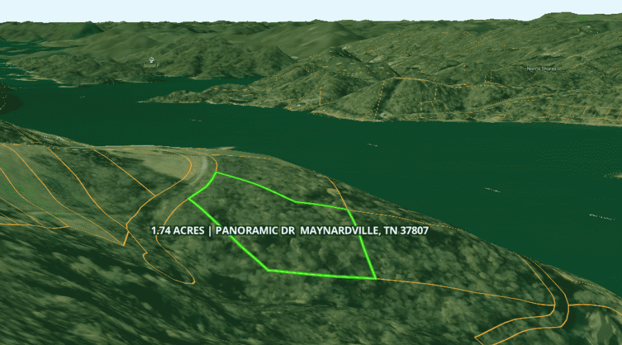
Acres: 1.74
Price: $44000

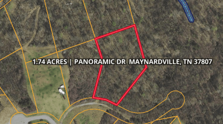
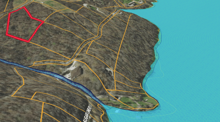
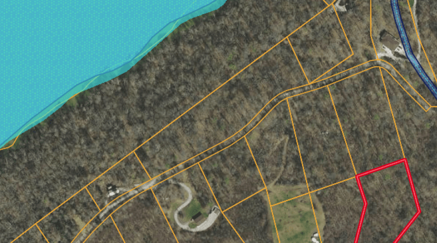
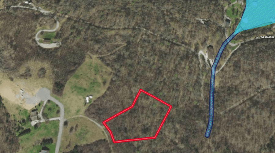
Cash Price: $44,000
Financing Price: $55,000 20% down ($11,000), 0% interest, 5 years
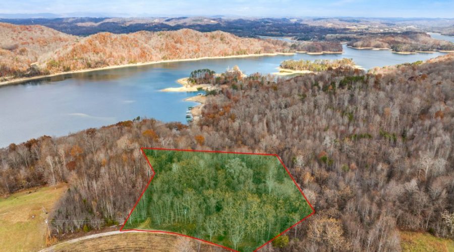
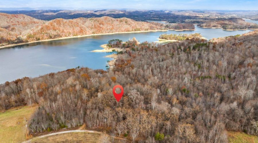
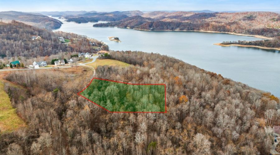
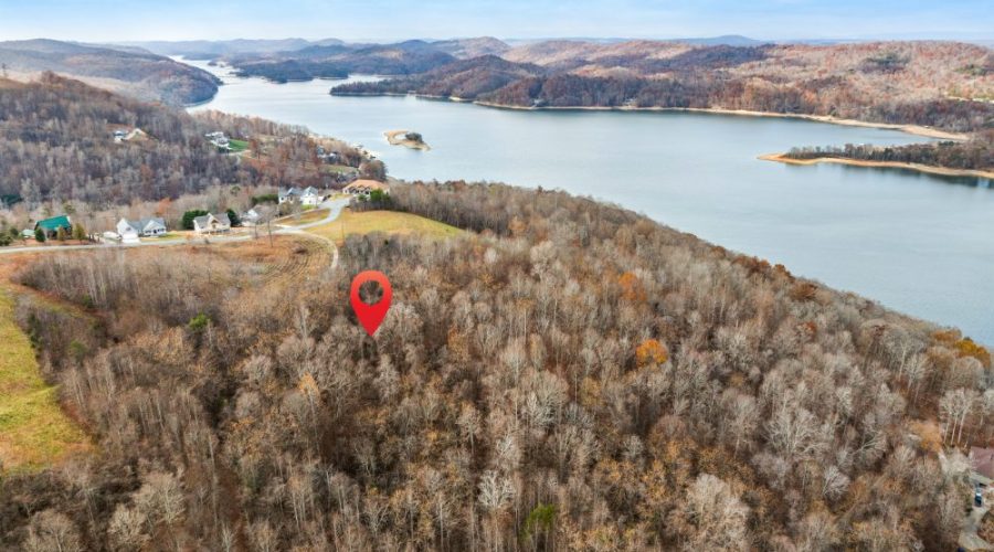
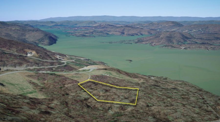
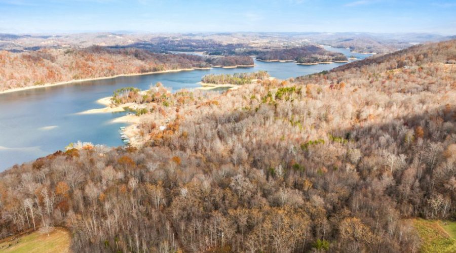
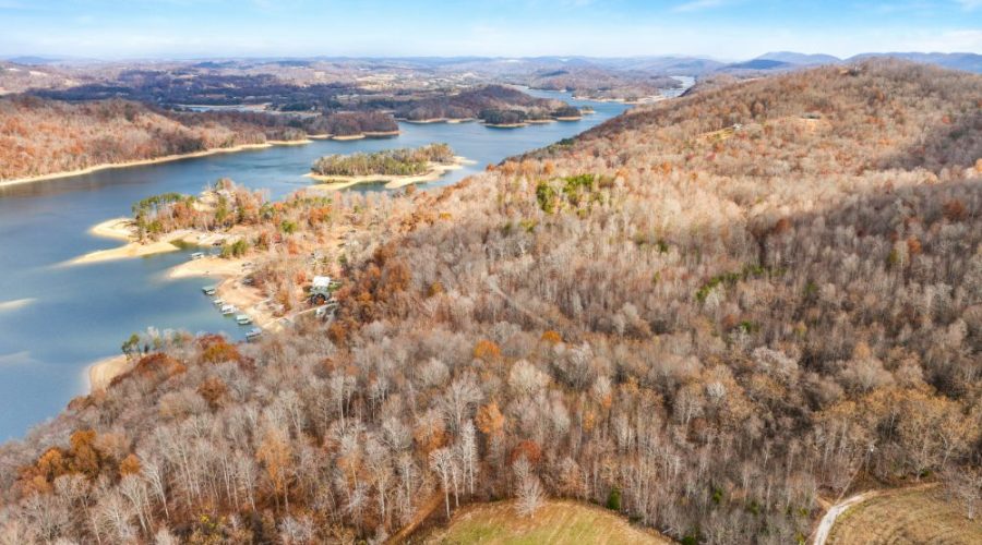
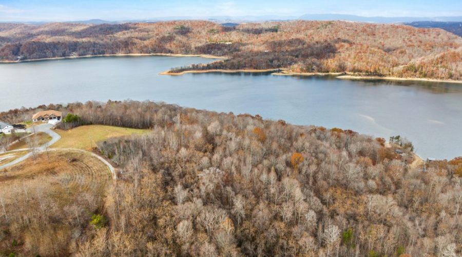
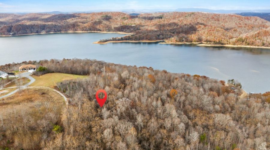
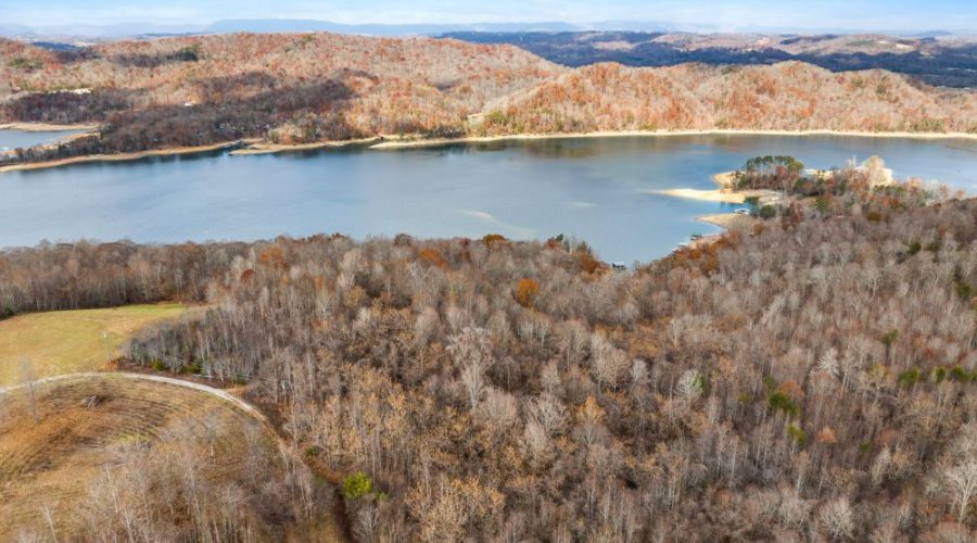
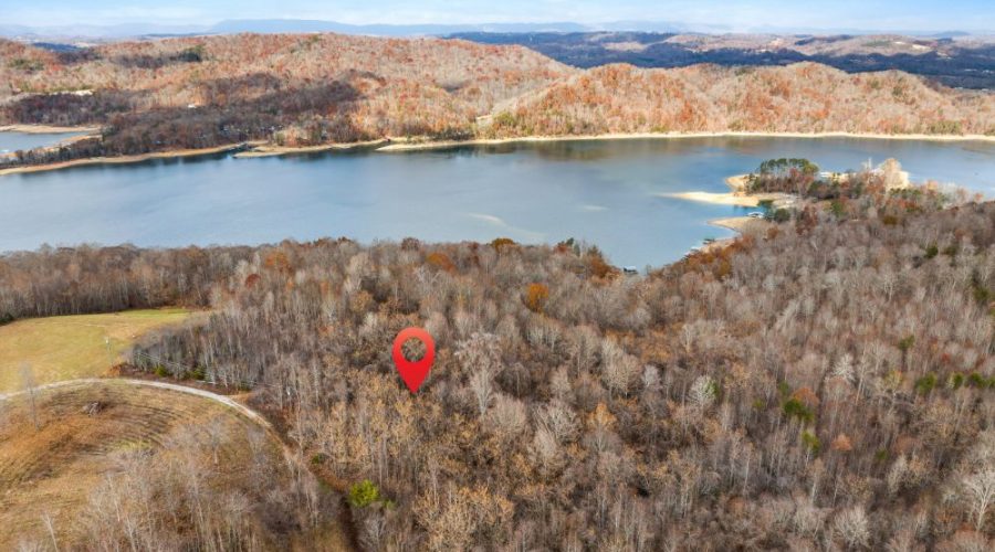
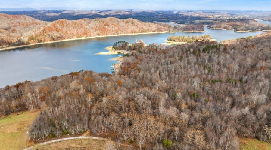
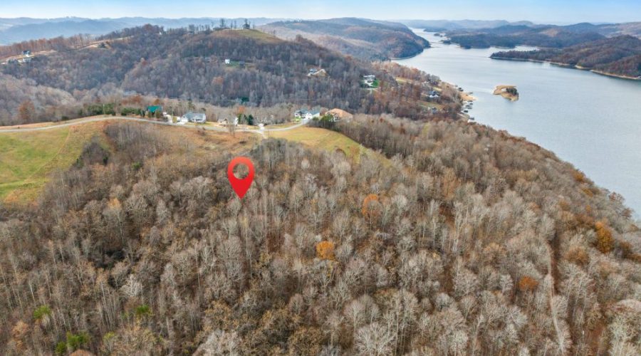
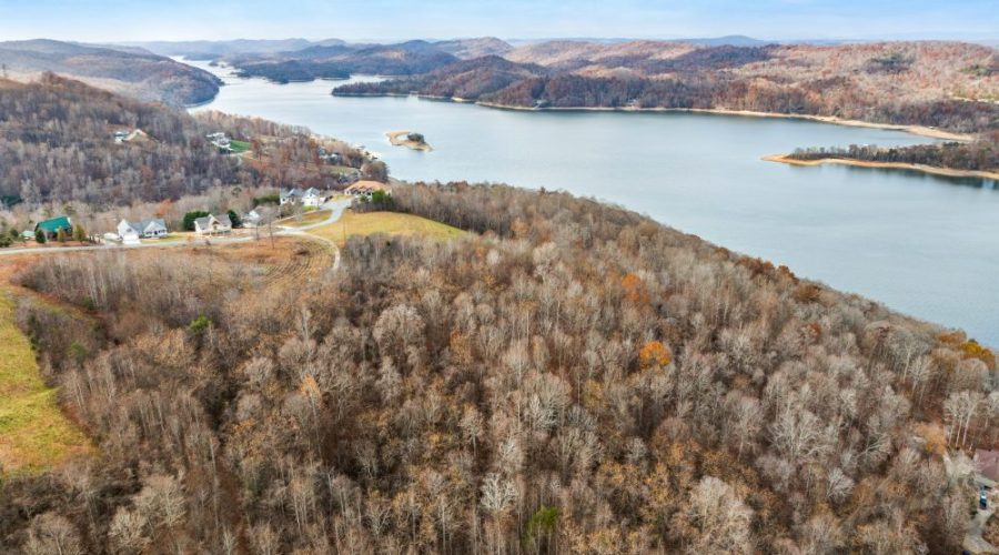
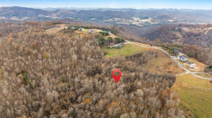
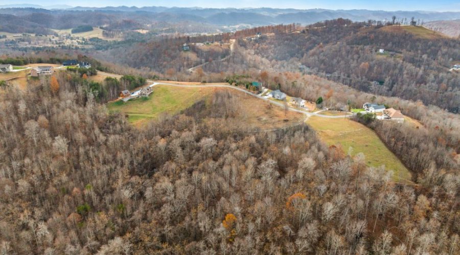
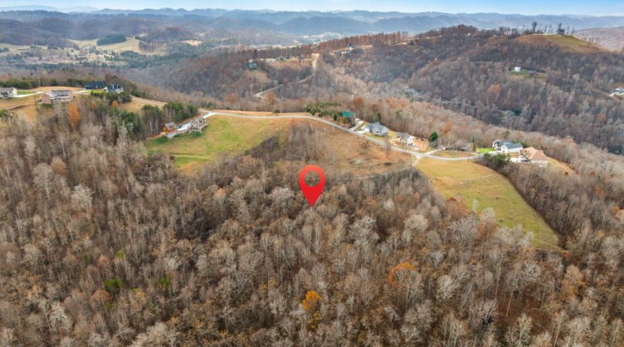
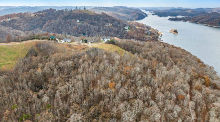
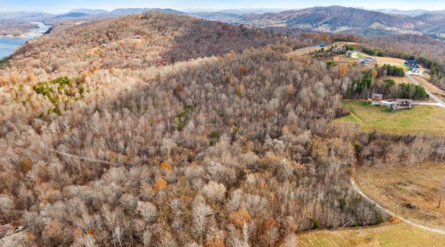
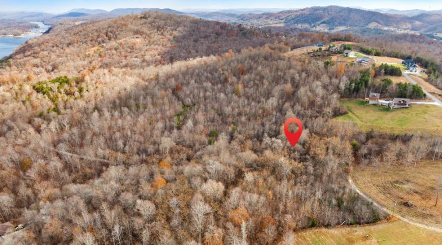
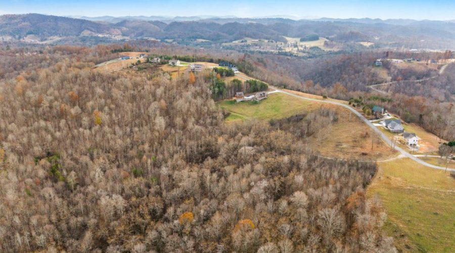
Discover the charm of this 1.74-acre parcel of land, an exclusive offering from Vacant Land Bargains. Perfectly sloped to provide a breathtaking panorama of the area, this lot promises not just land, but a vision for a serene future.
The lot boasts immediate power access and confirmed water availability just 5 feet from the road, offering significant conveniences for construction and living needs. Septic will be required, allowing for customized waste management solutions tailored to your specific build. And while you plan for that dream home or next investment, rest assured of staying connected with the outside world: All major carriers are available in the area and Starlink is confirmed.
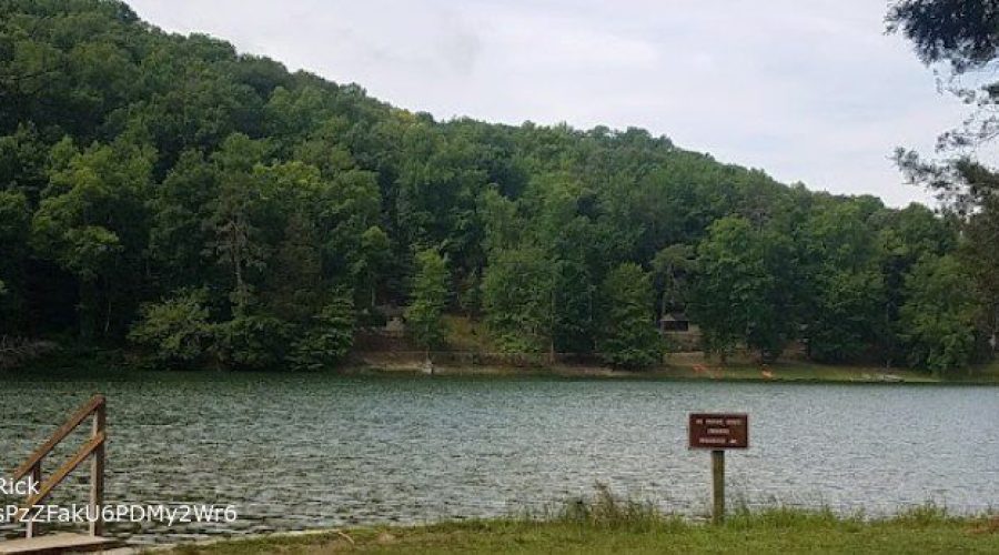
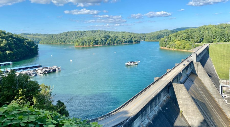
What makes this spot truly special isn’t just its utility, but its enviable location. Begin your mornings with unrivaled views, plan weekends at nearby attractions like the campgrounds at Lakeside and Lakeview, and indulge in the beauty of Norris Lake, Alderson Springs Park, and several state forests and parks including Chuck Swan, Panther Creek, and Big Ridge.
For those who value freedom, there’s no HOA to worry about. The light restrictions ensure the region retains its charm: Only residential builds are permitted, ensuring no disturbances from mobile homes or RVs, pets are welcome companions and in order to keep the peace of the area: signs and noisy vehicles are a no-go.
With such a blend of beauty, freedom, and convenience, this lot is a treasure waiting to be claimed. A special cash discount awaits quick decisions, and seller financing is available for those who want it. Opportunities like this don’t last. Make this enchanting space yours before it’s gone.
Please let us know if you would like to walk this property. Most of our properties you can visit un-accompanied. Our recommendation is to check for any special instructions below and ensure you have the Google My Map with parcel boundaries prepared on your mobile phone as well as the area downloaded for offline viewing on Google Maps mobile app. If you have any further questions please contact us for further guidance.
By visiting this property you agree that you are entering the property at your own risk. Conditions are unknown and may pose hazards. By visiting, you assume all responsibility for your safety and waive any claims of injury or damage against the property owner.
Step 1. Ensure you are on a desktop computer and logged into the same Google account that you will use on your Google Maps mobile app.
Step 2. Open the map below in full screen in a new tab.
Step 3. In the top left click the 3 dots to the right of the map title to dropdown a menu. Select copy map, save it.
Step 4. On your mobile phone open the Google Maps app & ensure you are logged into the same Google account.
Step 5. On the bottom of the screen select “saved”. Scroll down and on the bottom right select “Maps”
Step 6. The map should appear with the parcel outline as well as corner markers.
This map will remain available to you at any time and you will be able to see the parcel lines as you walk the property. Keep in mind these are GIS lines and meant to be for reference purposes but do not represent actual property lines.
Access
Private Road (Needs Confirmation)
Zoning
00-Residential
Terrain
Sloped
HOA
No HOA
Internet & Connectivity
Verizon, AT&T, T-Mobile, Starlink
State: North Carolina
County: Robeson County
2.5 Acres
Price: $25000
State: North Carolina
County: Robeson County
5 Acres
Price: $57000
State: North Carolina
County: Robeson County
2.5 Acres
Price: $25000
State: North Carolina
County: Robeson County
3.05 Acres
Price: $45000
State: Indiana
County: Green
1.42 Acres
Price: $22000
State: Indiana
County: Brown
9.9 Acres
Price: $125000
We will be reaching out to you shortly.
