Financing Available: 36 Monthly Payments of $1,730.03
Down Payment: $12,000.00
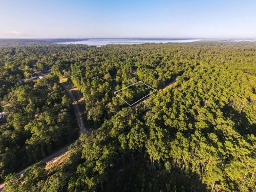
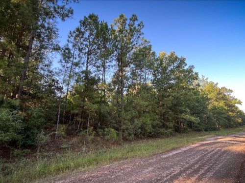
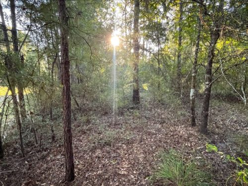
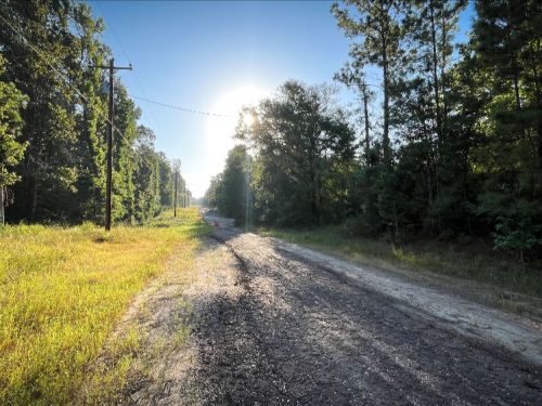
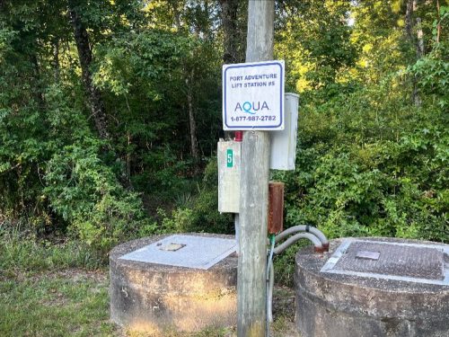
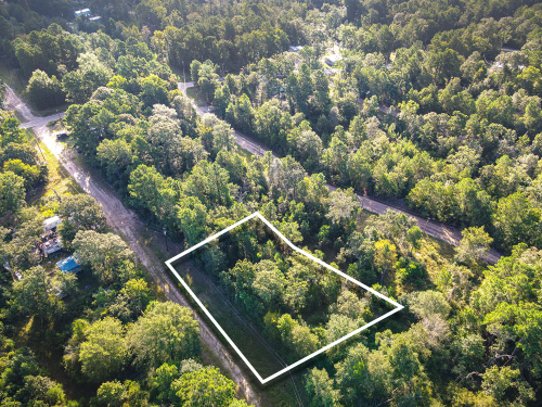
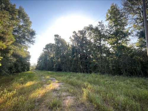
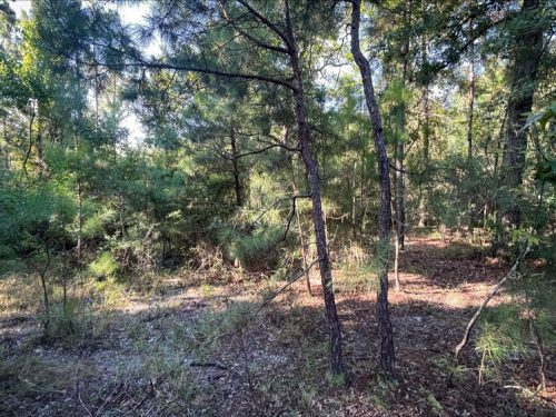
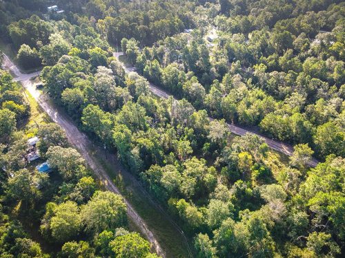
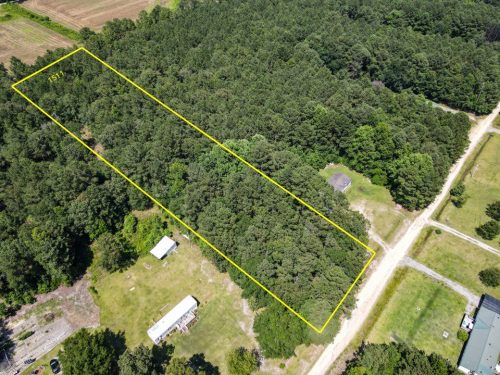
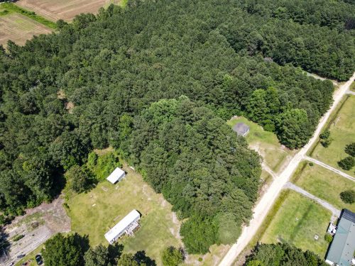
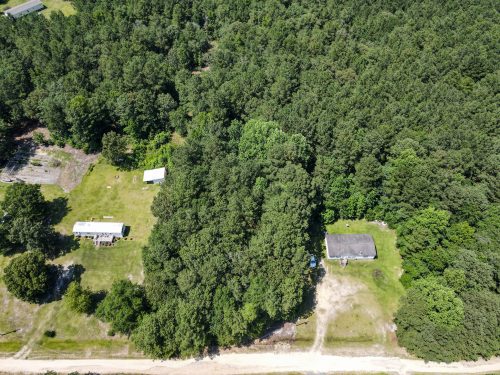
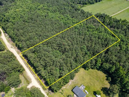
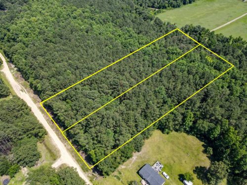
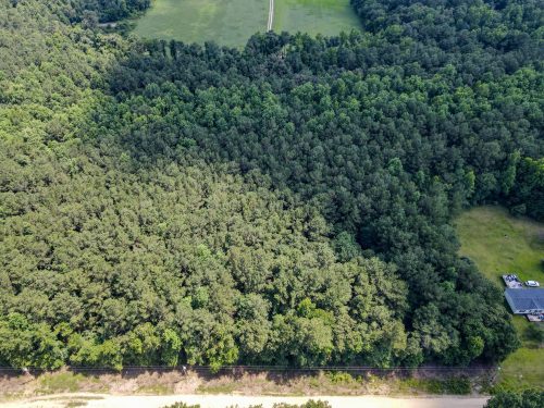
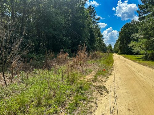
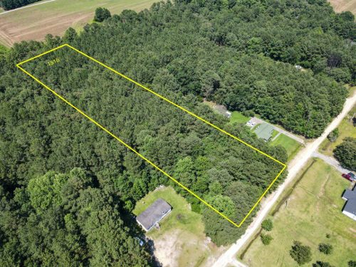
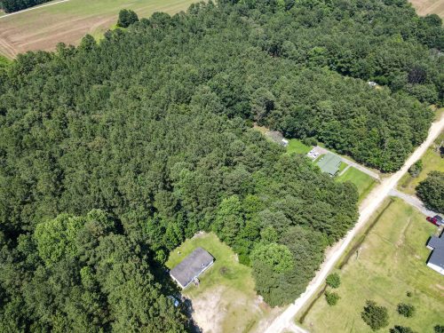
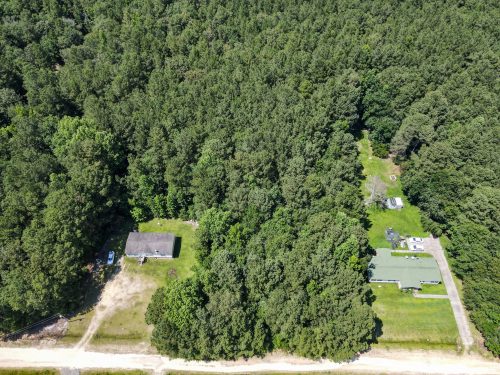
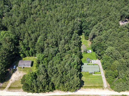
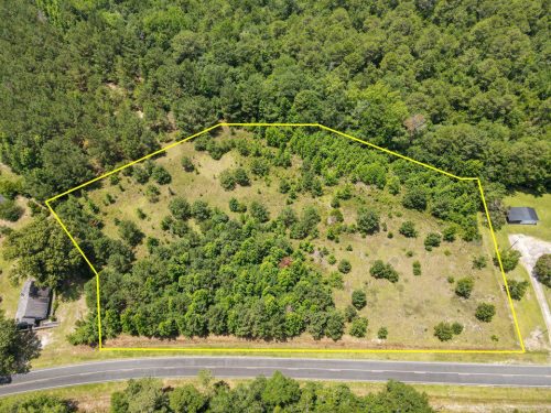
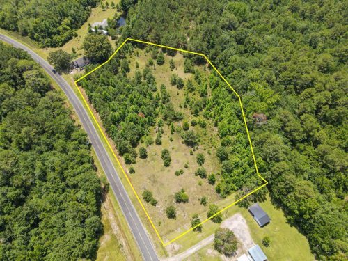
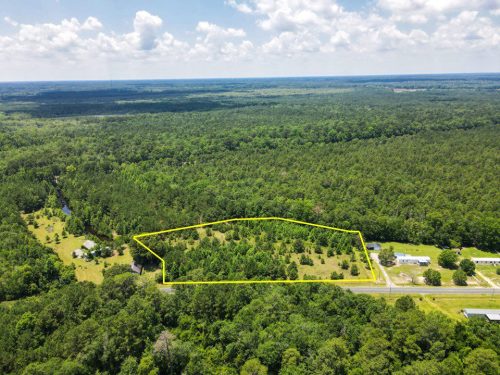
Enjoy the peace and tranquility of the woods or clear out a space for your dream home. This 6.06 acre parcel has endless possibilities for you to make your own private oasis. The Asphalted County Rd for easy access to HWY 67 that can take you from Paragon, to Indianapolis, to Bloomington and Martinsville. Power lines stand ready along S Denny Hill Rd.
1200 by 200 ft of road frontage with gently sloping terrain intersected by a seasonal riverine system. Live just 5 minutes from the local stores in Paragon and 15 minutes to Martinsville. For your outdoor adventures you’re 11 minutes to the nearby county park and 25 minutes from the 24,000 acres of the Morgan-Monroe State Forest.
-Indianapolis International Airport – 34 mins away
-Monroe Hospital – 30 mins away
-Martinsville Plaza – 10 mins away
-Kroger – 12 mins away
-Martinsville Well – 6 mins away
-Eagle Creek Park – 49 mins away
-Yellowwood State Forest – 53 mins away
-Martinsville City Park – 11 mins away
Land ID
360 Panoramic View
How To See This Property
Please let us know if you would like to walk this property. Most of our properties you can visit un-accompanied. Our recommendation is to check for any special instructions below and ensure you have the Google My Map with parcel boundaries prepared on your mobile phone as well as the area downloaded for offline viewing on Google Maps mobile app. If you have any further questions please contact us for further guidance.
By visiting this property you agree that you are entering the property at your own risk. Conditions are unknown and may pose hazards. By visiting, you assume all responsibility for your safety and waive any claims of injury or damage against the property owner.
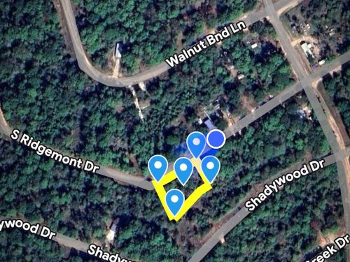
Google Maps
How to view parcel lines as you walk the property
Step 1. Ensure you are on a desktop computer and logged into the same Google account that you will use on your Google Maps mobile app.
Step 2. Open the map below in full screen in a new tab.
Step 3. In the top left click the 3 dots to the right of the map title to dropdown a menu. Select copy map, save it.
Step 4. On your mobile phone open the Google Maps app & ensure you are logged into the same Google account.
Step 5. On the bottom of the screen select “saved”. Scroll down and on the bottom right select “Maps”
Step 6. The map should appear with the parcel outline as well as corner markers.
This map will remain available to you at any time and you will be able to see the parcel lines as you walk the property. Keep in mind these are GIS lines and meant to be for reference purposes but do not represent actual property lines.
Berks channery silt loam, 35 to 80 percent slopes. Wellston silt loam, 6 to 12 percent slopes. Zanesville silt loam, 6 to 12 percent slopes. Good limited grazing. This is a heavily treed property.