Property Description Seller Financing is Available!
Down Payment: $17,000.00
$1,611.34 per month for 60 months, includes interest, taxes, and fees.
Interest is 8% APR (Simple Interest)
Loan is amortized, prepayments allowed at anytime to reduce total interest paid!
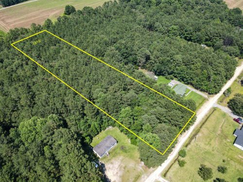
Important Disclosure: Property is being sold As-Is, the property does not currently have insurable access, do not visit using the road. Property can be walked on to via BLM land in the NE Corner.
Financing is available: 24 months, 20% down minimum.
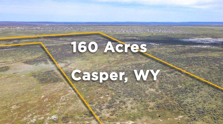
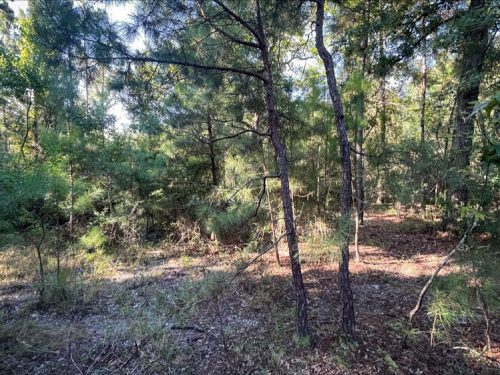
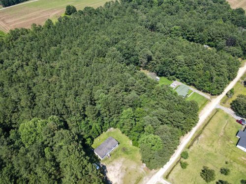
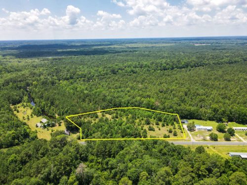
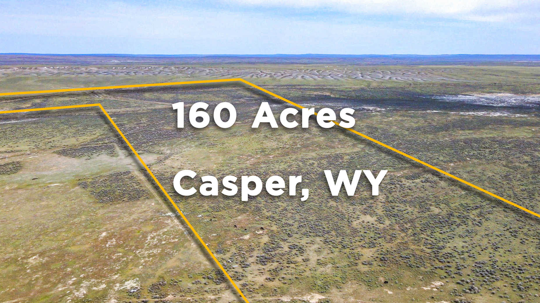
Your 160-Acre country estate is waiting for you. This parcel is ideal for anyone looking for a private home site, productive ranch, or large cattle grazing tract. No Hoa, close to town, and zoned for residential, agricultural, or ranching uses.
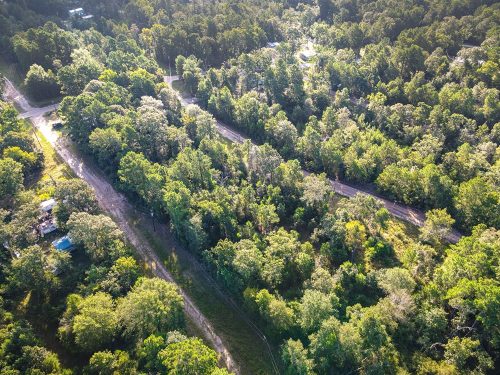
Just 15 minutes from Casper this parcel’s terrain is flat, covered in grass and sage brush. You can drive the property with a high clearance 4×4 when the ground is dry. The irrigation canal runs through the northern 80 acres isolating some highest quality soil for farming. The canal is currently dry but a bridge can be built across. The canal water cannot be used for irrigation however…
A seasonal riverine system runs NE to SW capturing rain water and snow melt and makes for an excellent water source for cattle. Casper mountain is visible from the property and wide open skies and scenic cloudscapes are an everyday occurrence.
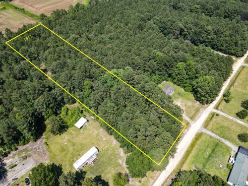
Plenty of room for building, septic, and a well site. This property definitely has build potential. Power is established at a neighboring parcel about 1400 ft from the SW corner. Propane delivery is also available for an alternate power solution. Cell service is excellent and Starlink High Speed Satellite Internet (which we recommend) is now available to Wyoming.
Casper Mountain is visible from here. Just 11 minutes from Natrona, access is easily off US Highway 26. Utility and access easements have been established under the law.
Outdoor enthusiasts in Casper enjoy world class fly fishing of the famous North Platte River. The sought Goldeneye Reservoir is stocked with fish is only a short 10 minutes drive from the property. Hunting in the area is also a popular past time. Wide varieties of big game and fowl are present. Most commonly you’ll see herds of pronghorn antelope roaming across your land but turkey, pheasants, and elk are not rare sightings.
Don’t miss out on this chance to own a piece of real estate. Now is the best moment to secure this property.
Remember to read over our comprehensive information page, as we have a lot of useful information for you.
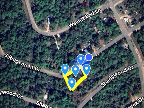
Nearby Places of Interest:
-Casper-Natrona County International Airport – 14 mins away
-Wyoming Medical Center – 25 mins away
-Hilltop Shopping Center – 27 mins away
-Ridley’s Family Markets – 28 mins away
-Fort Casper Museum – 28 mins away
-Morad Park – 24 mins away
-Adventure Playground – 24 mins away

