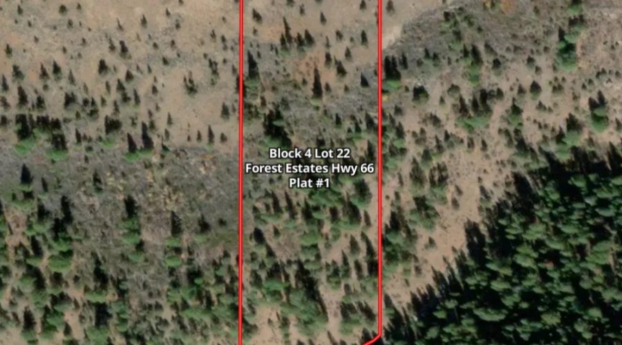
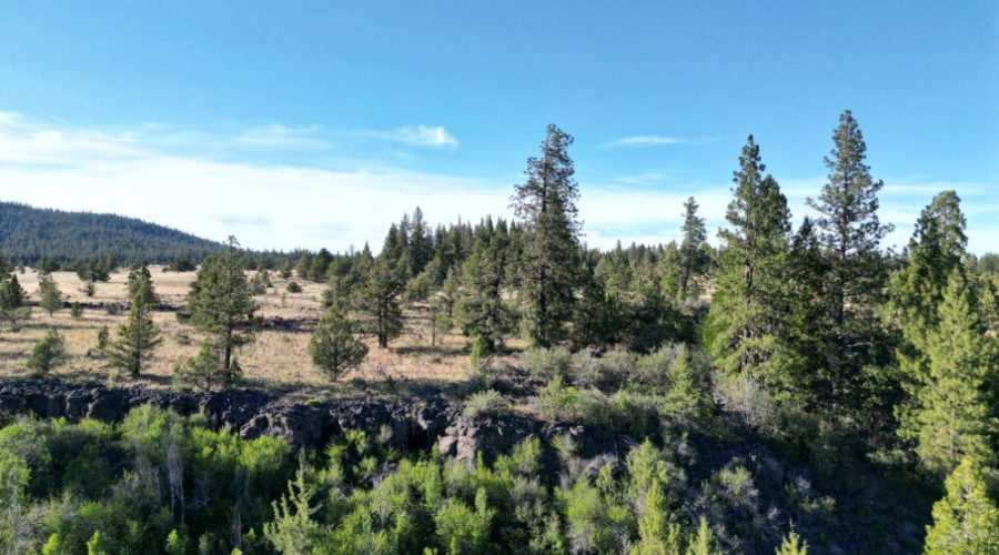
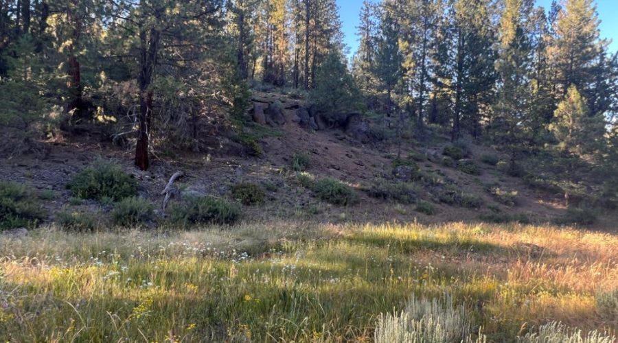
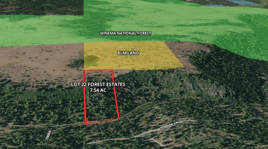
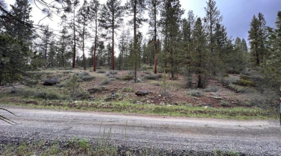
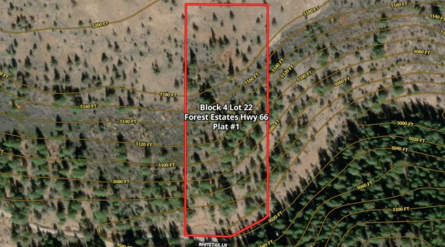
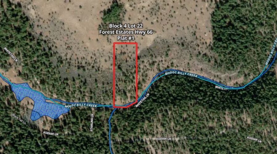
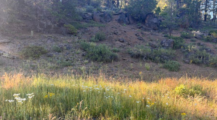
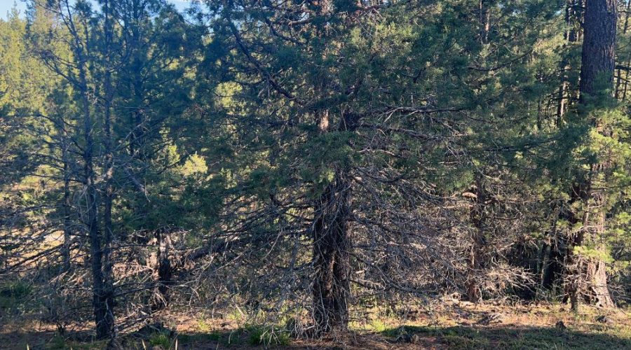
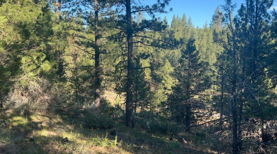
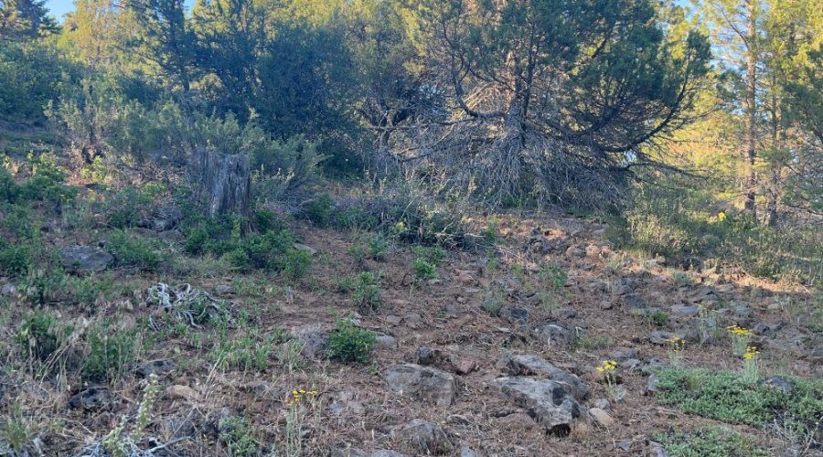
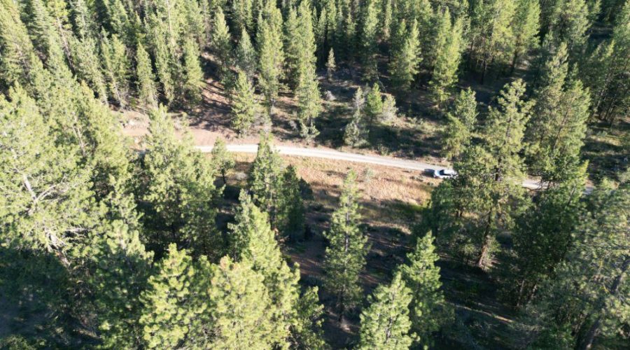
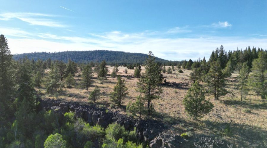
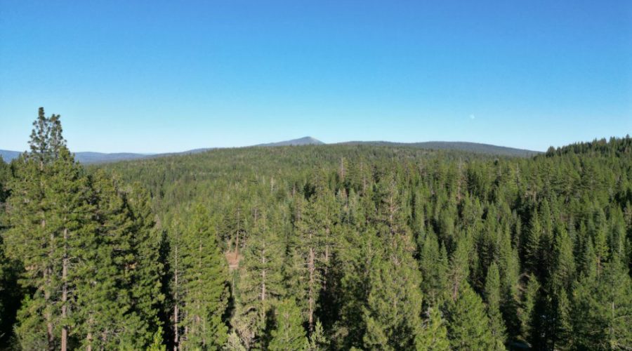
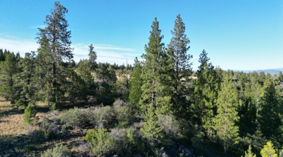
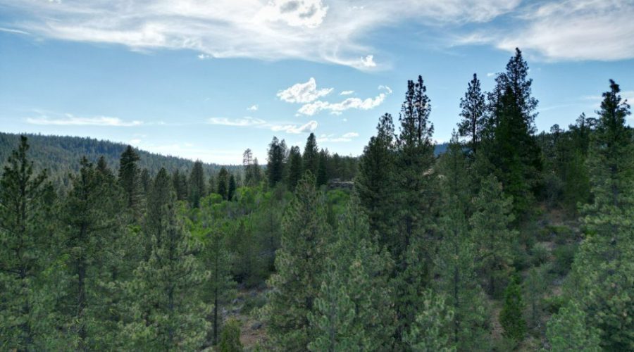
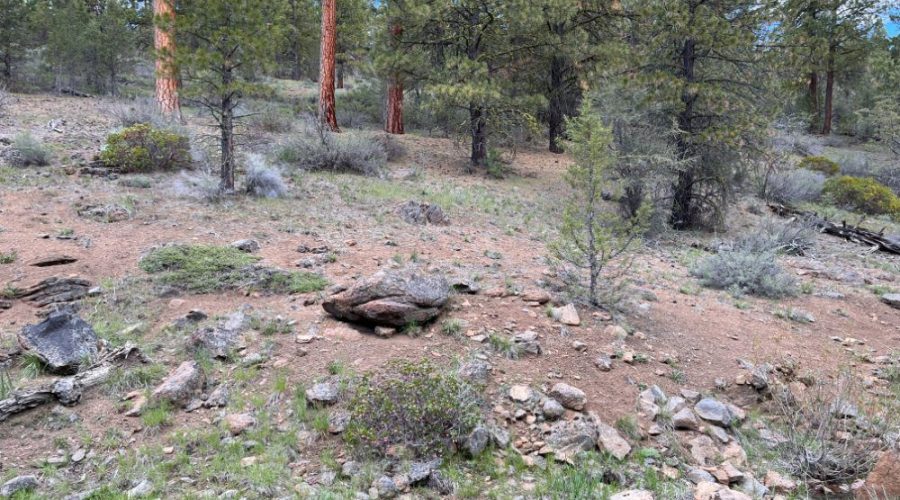
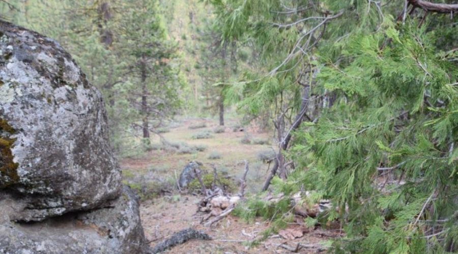
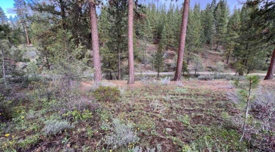
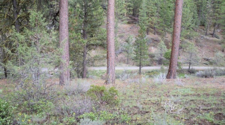
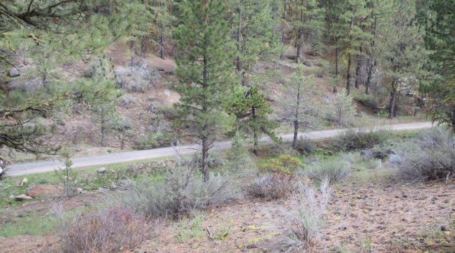
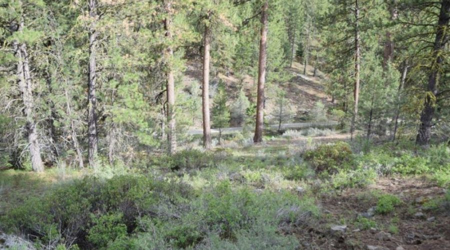
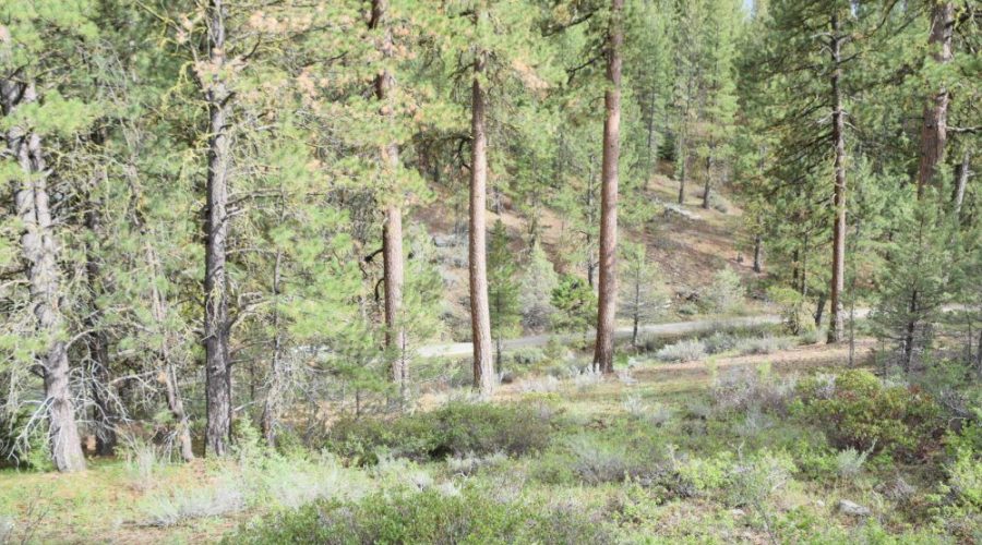
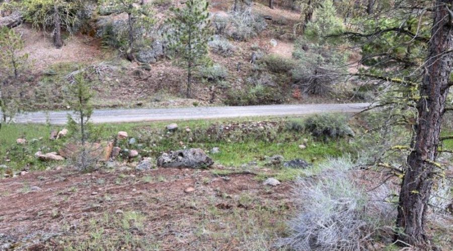
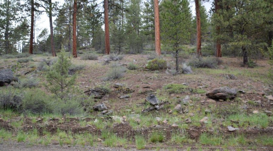
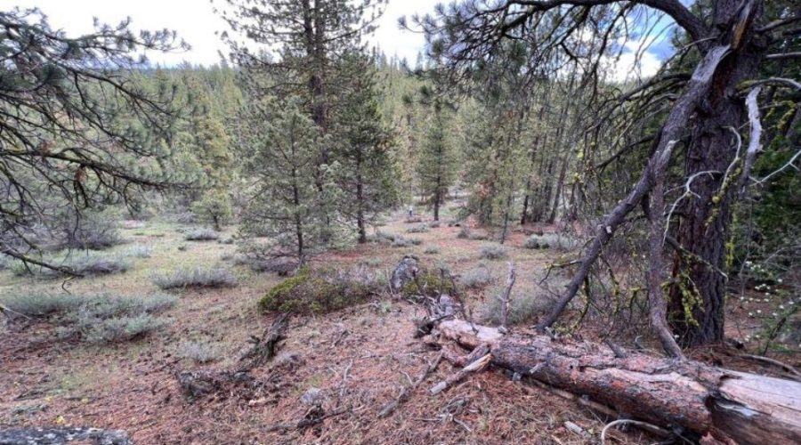
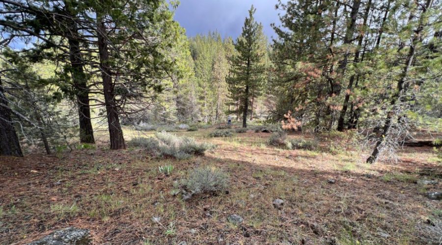
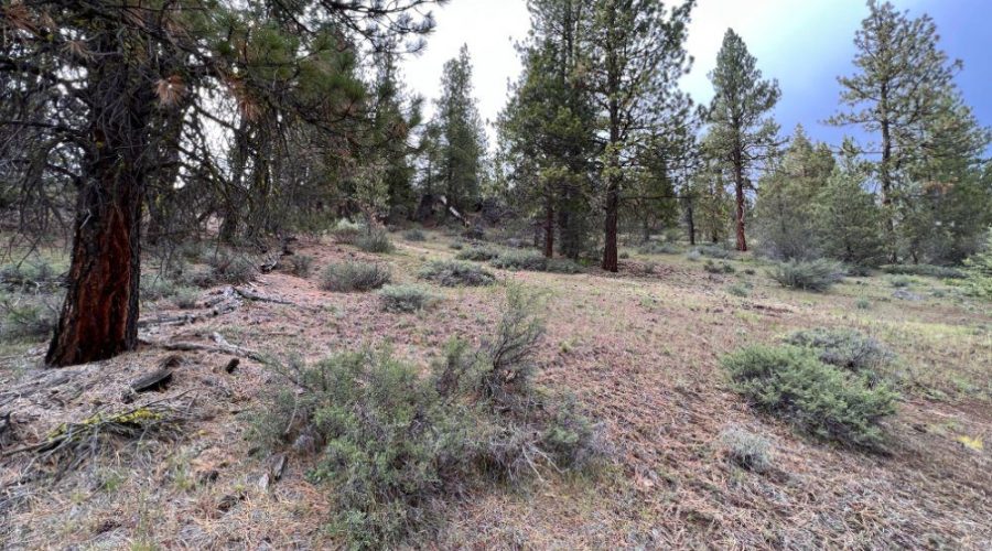
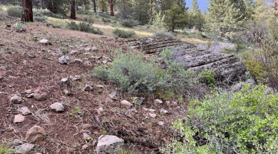
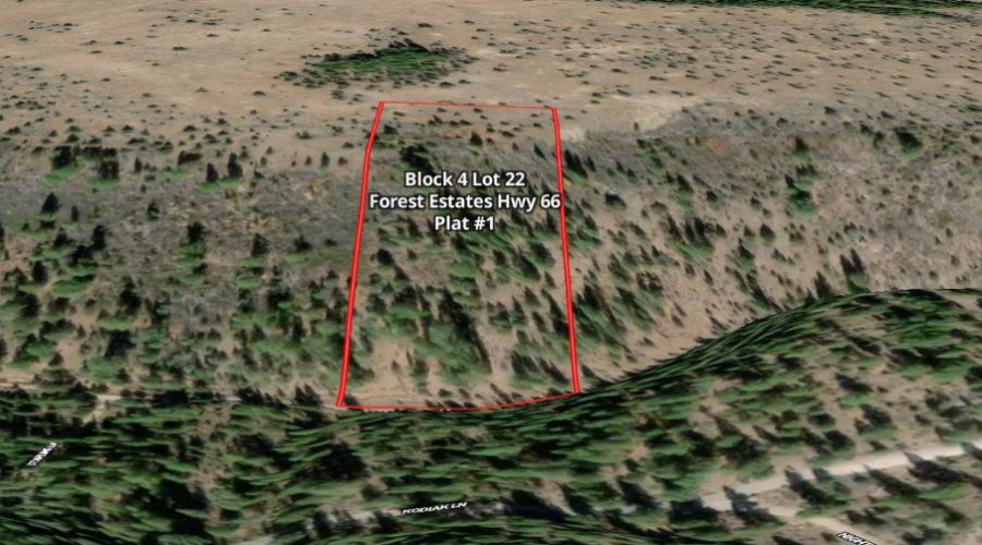
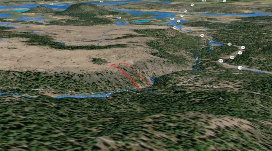
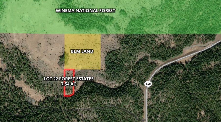
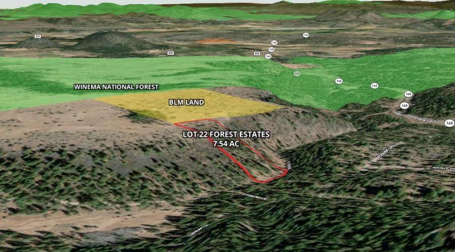
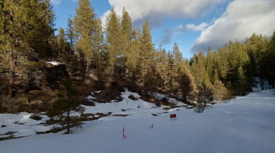
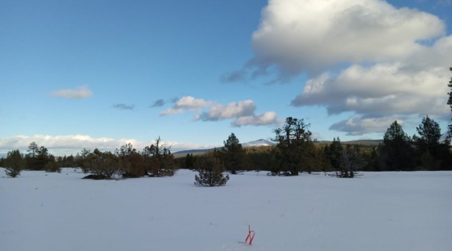
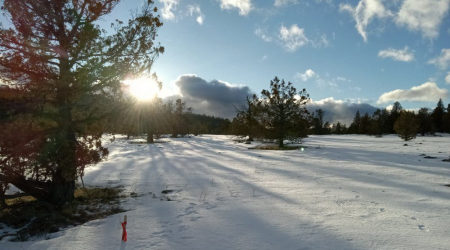
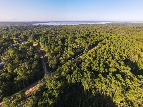
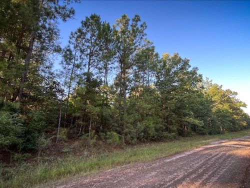
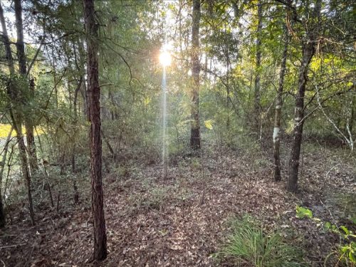
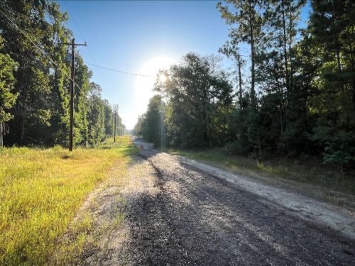
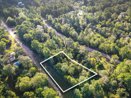
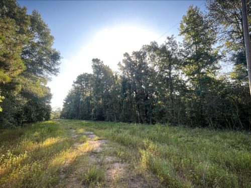
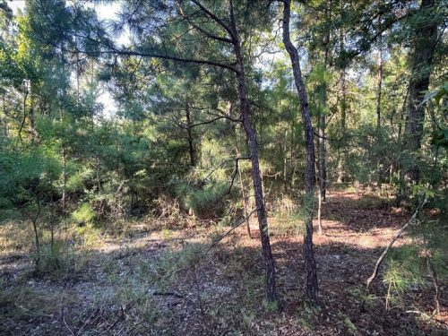
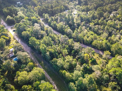
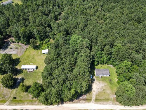
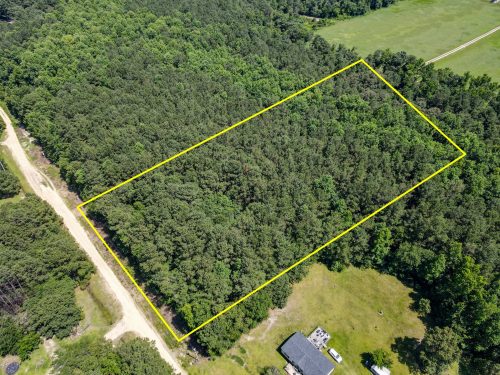
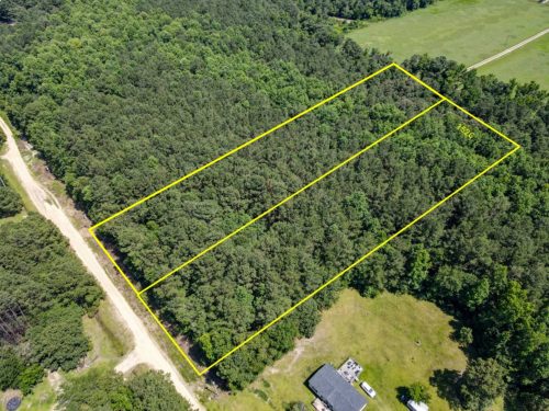
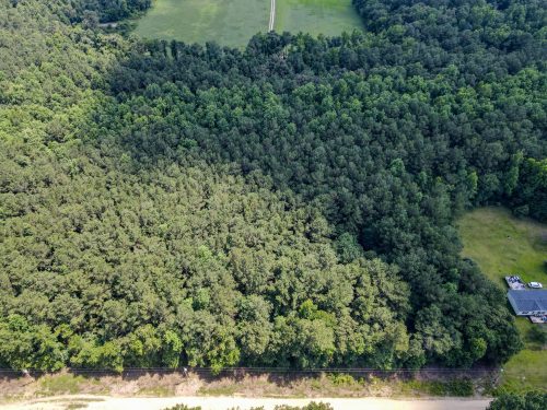
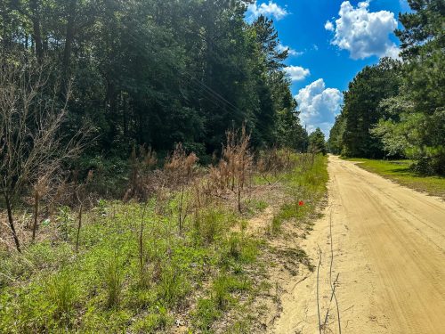
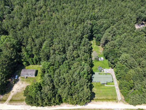
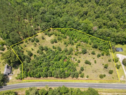
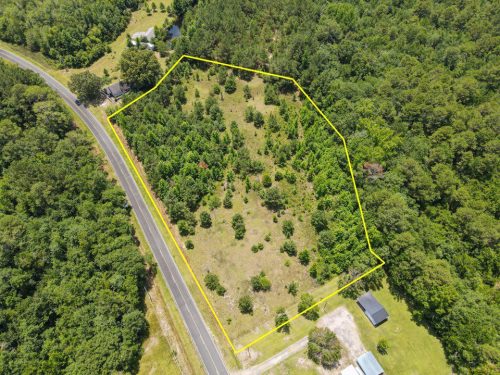
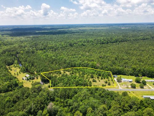
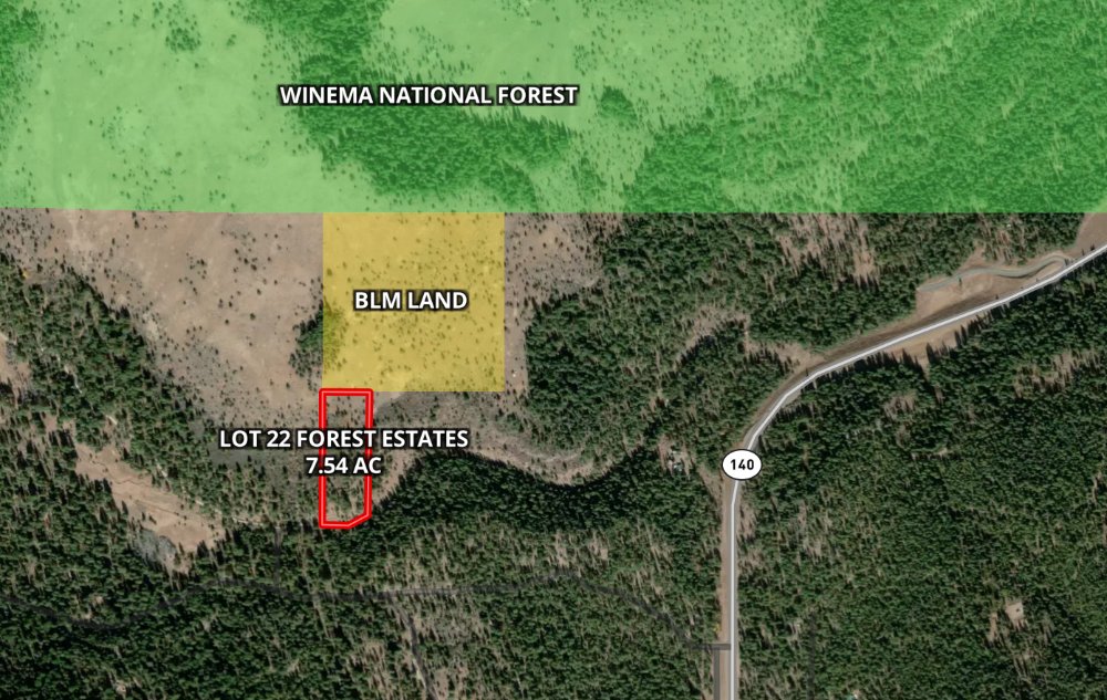
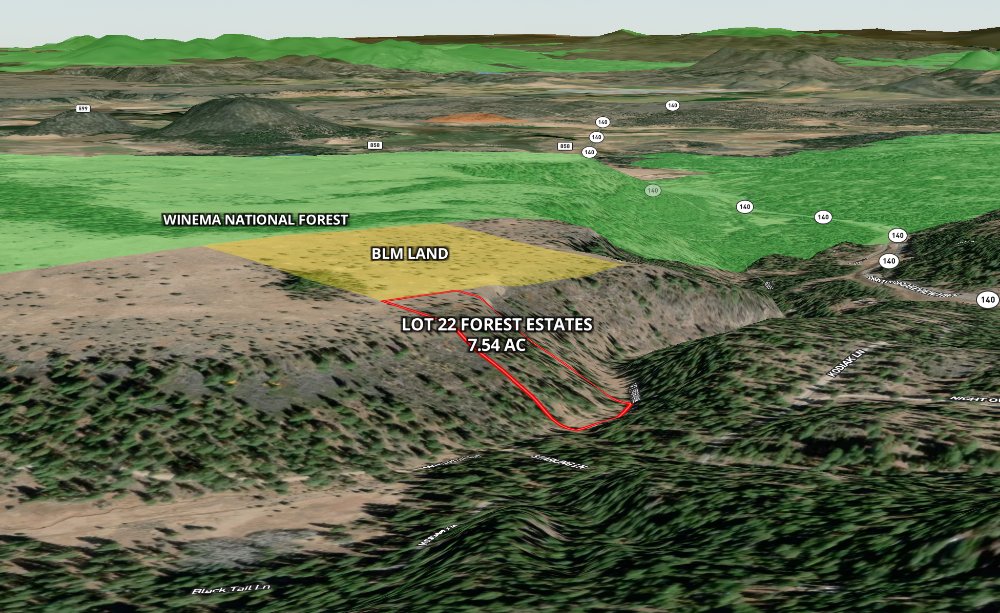
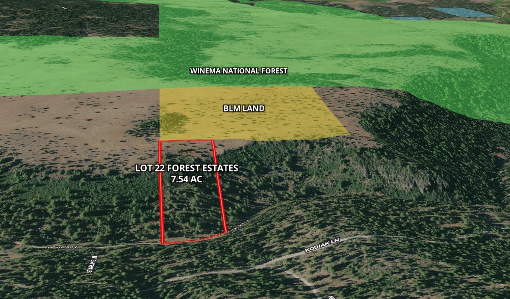
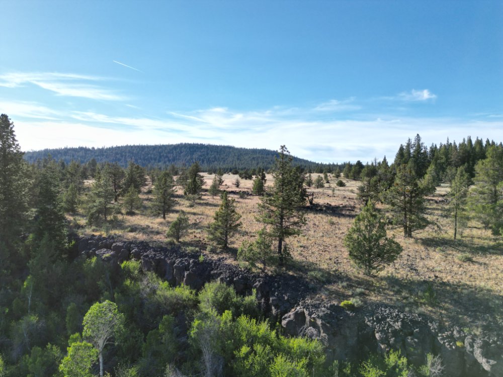
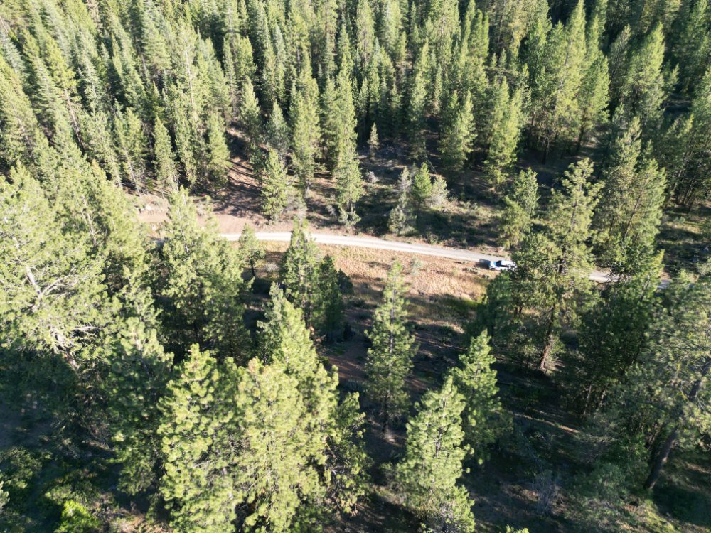
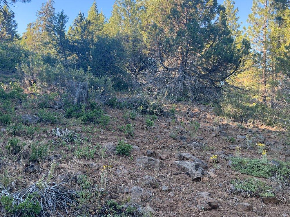
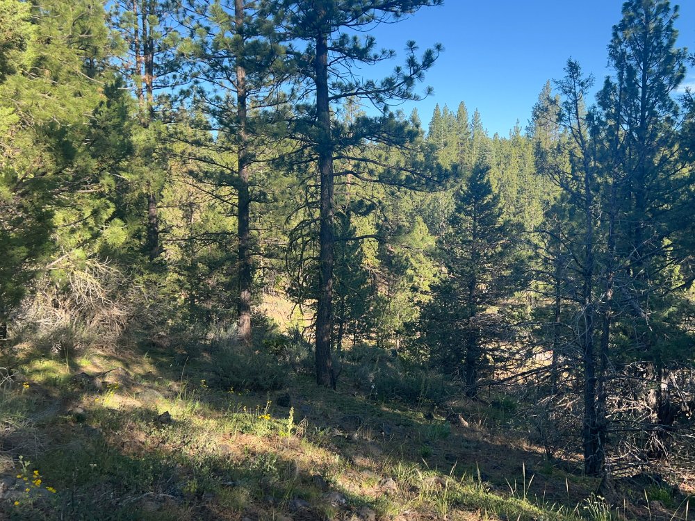
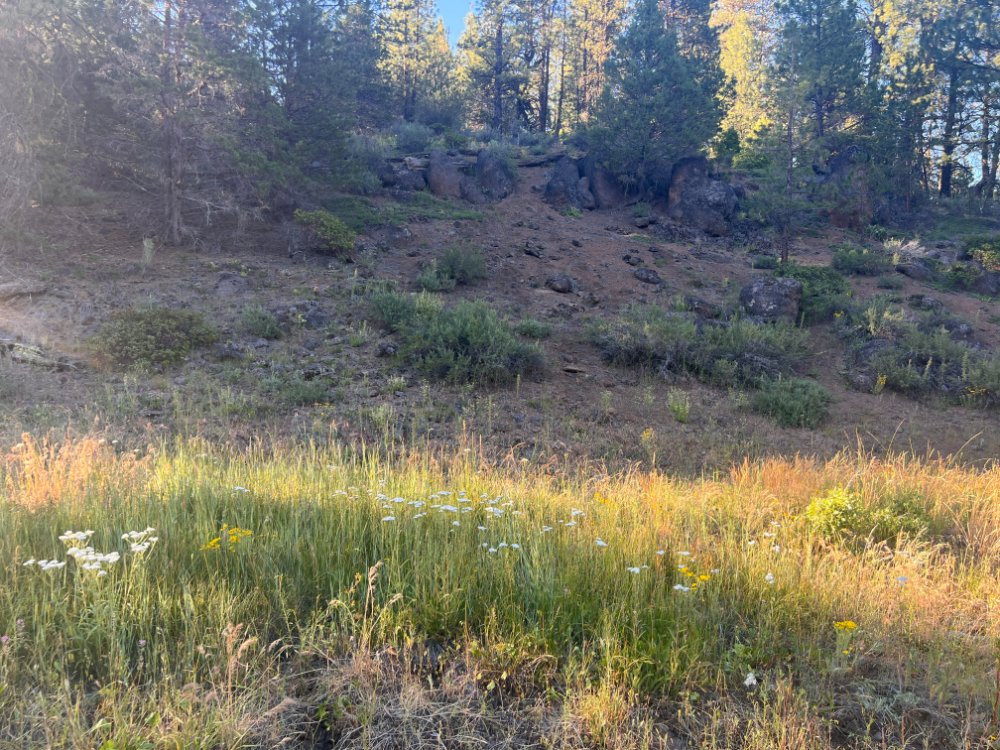
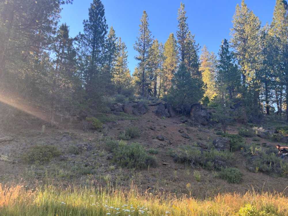
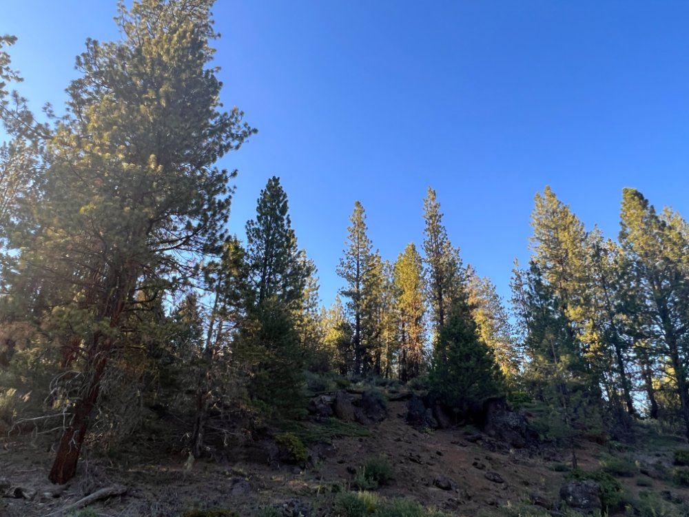
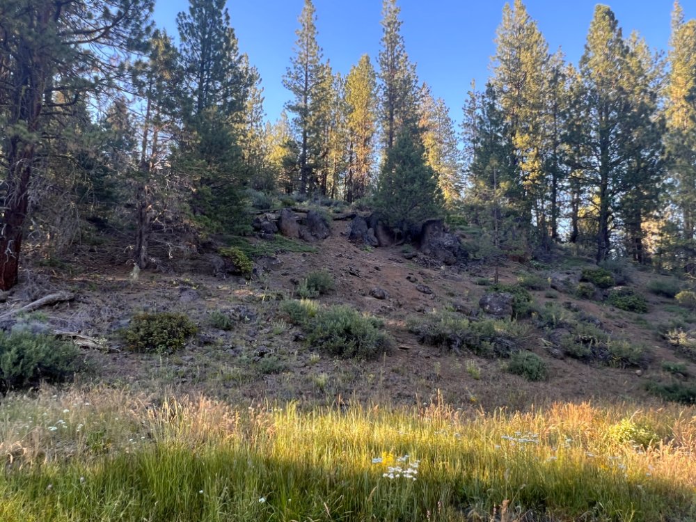
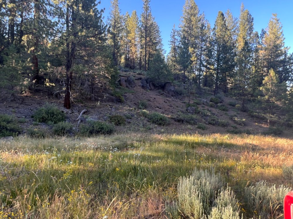
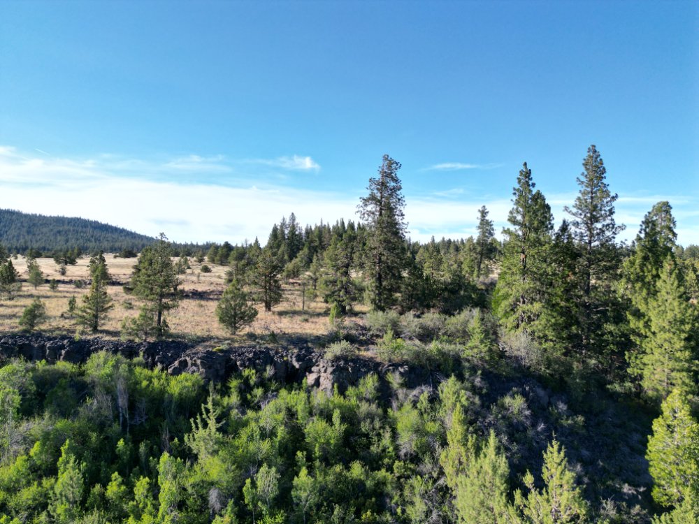
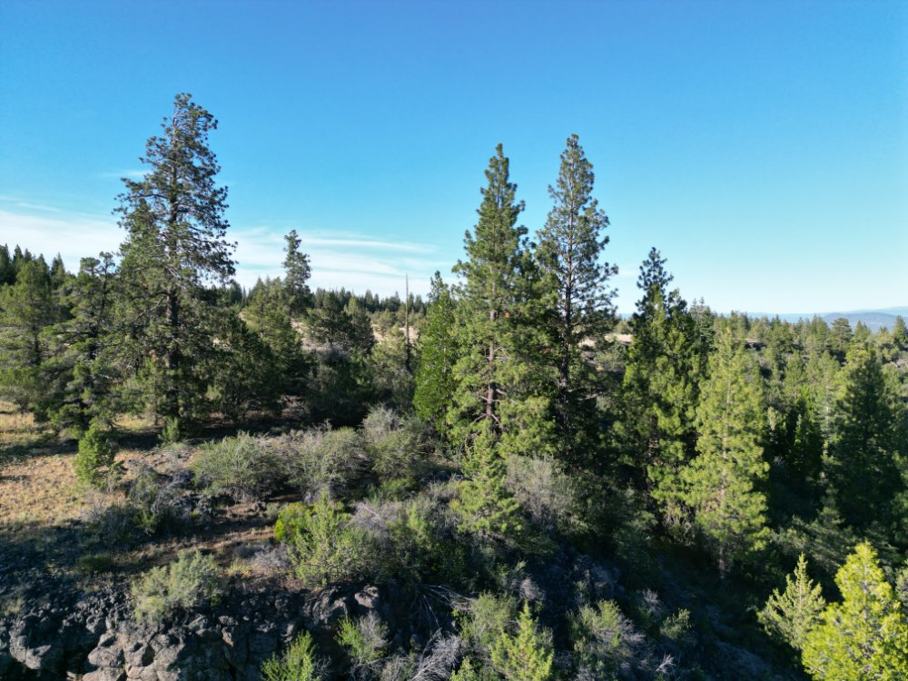
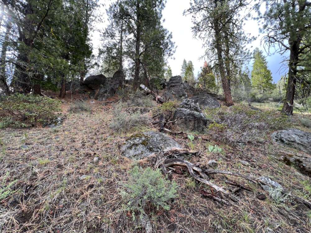
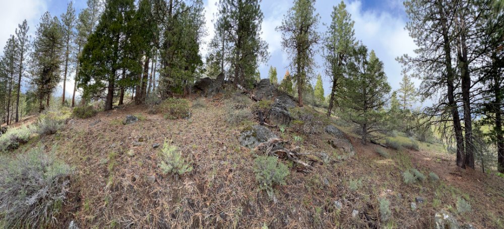
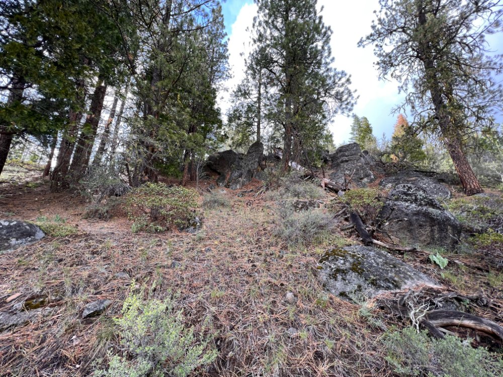
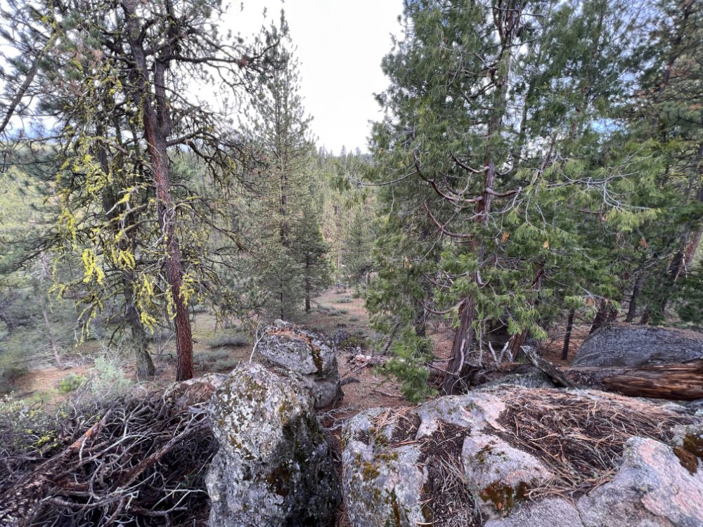
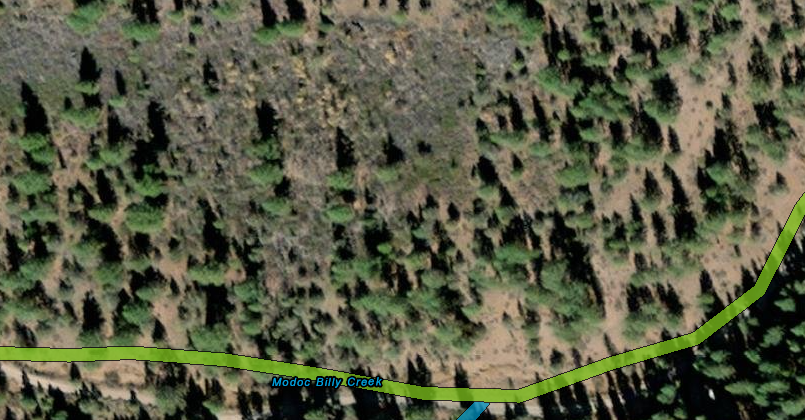
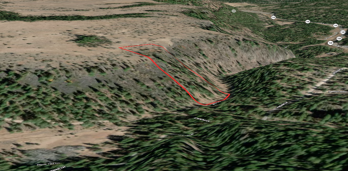
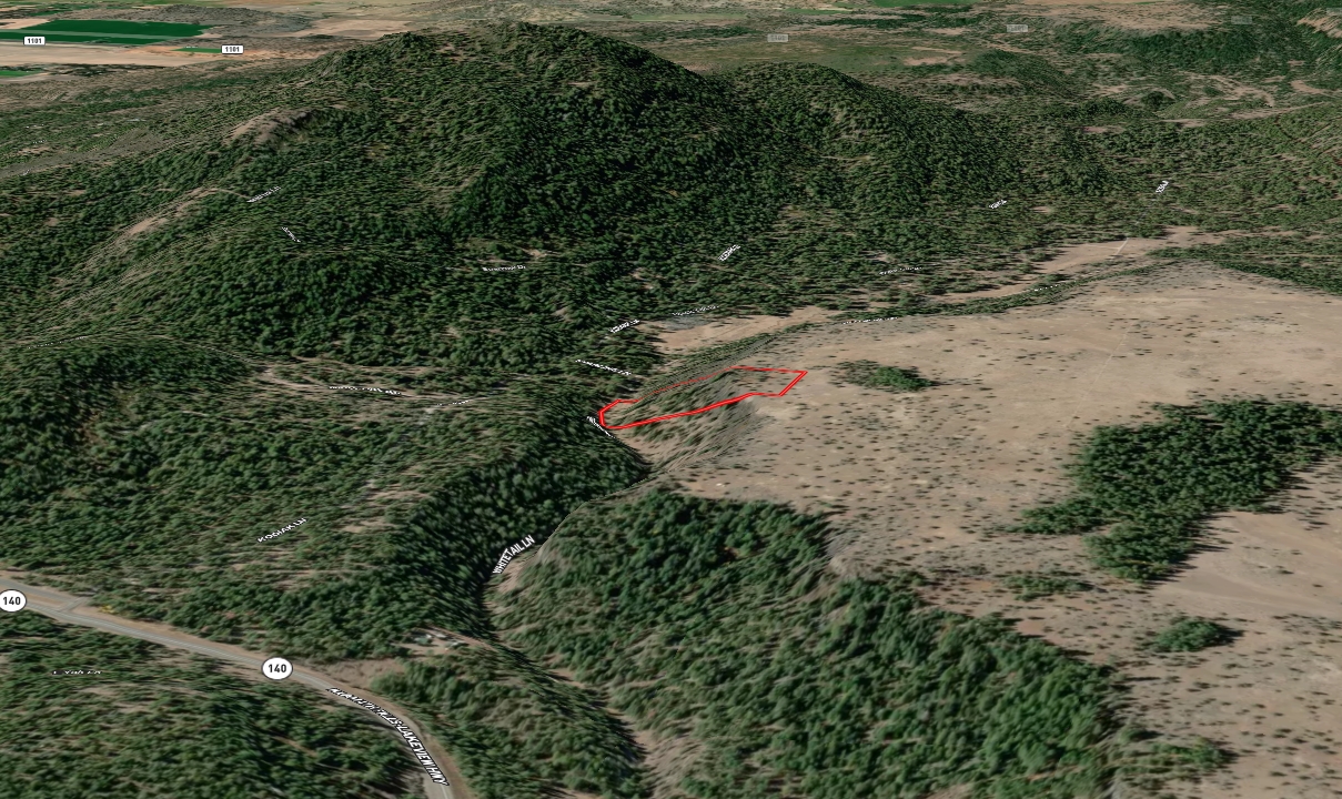
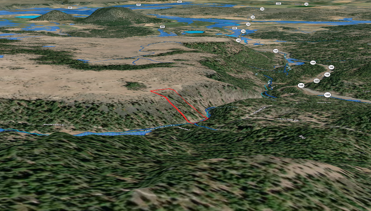
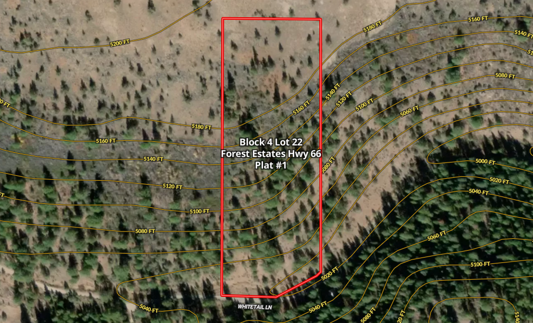
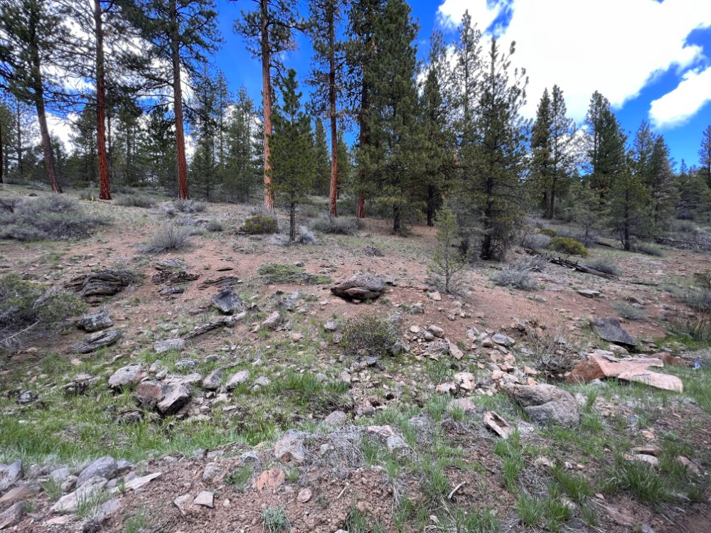
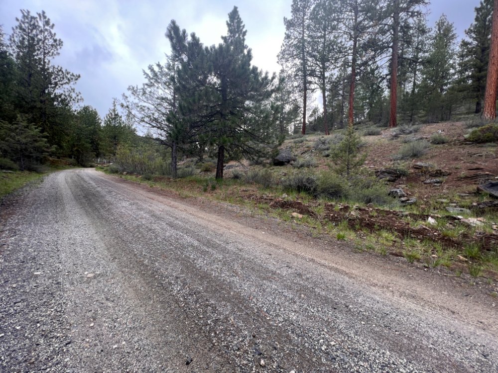
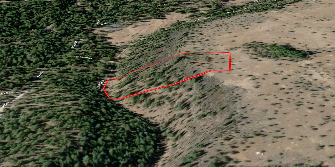
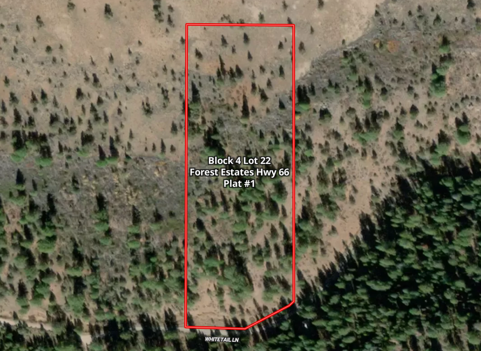
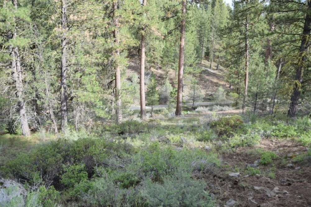
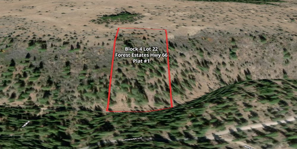
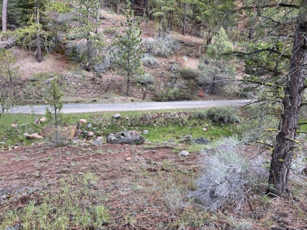
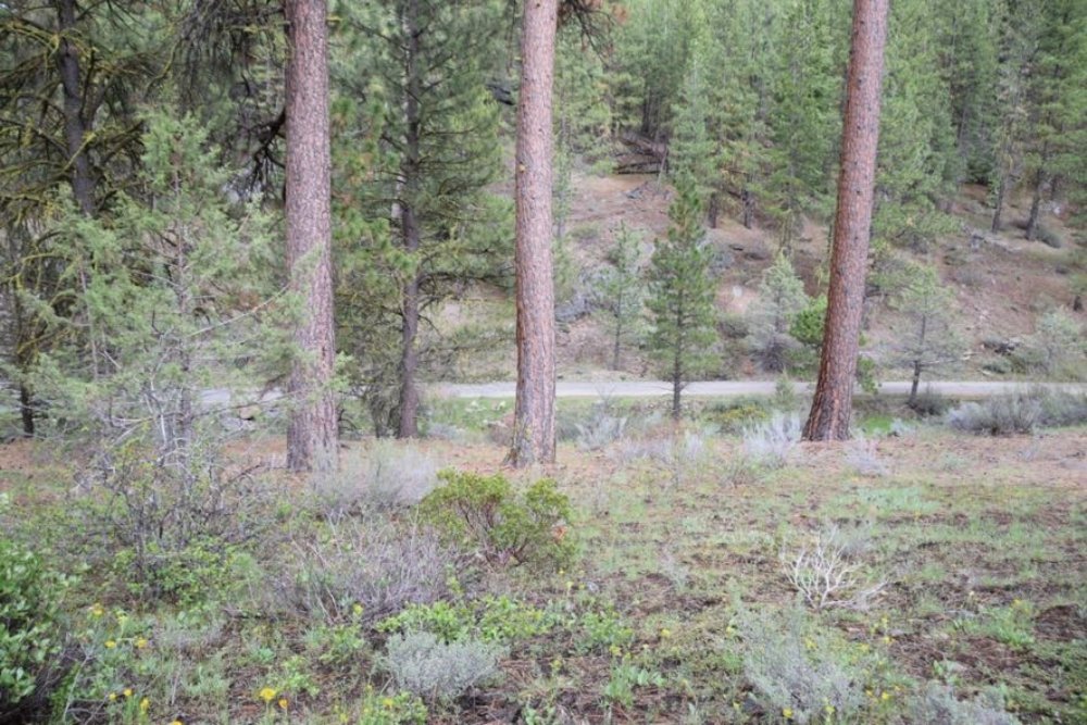
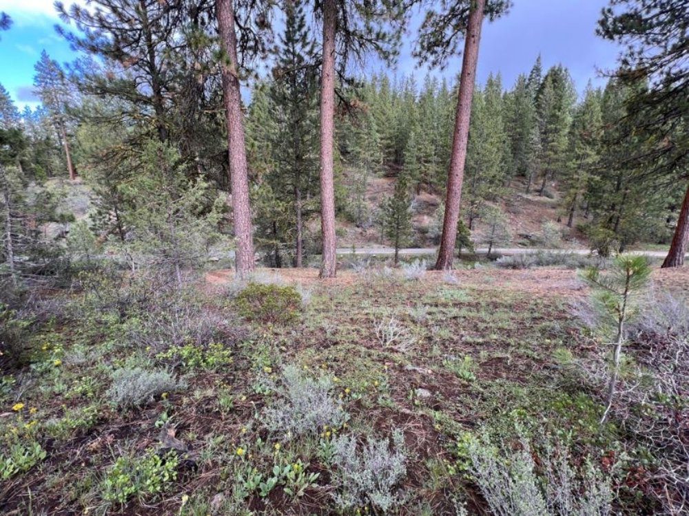
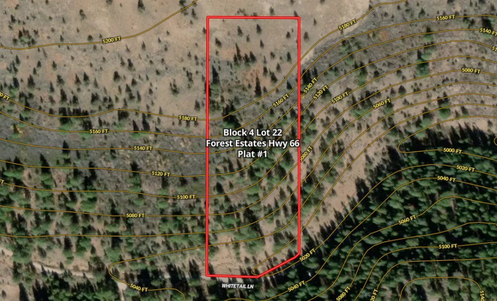
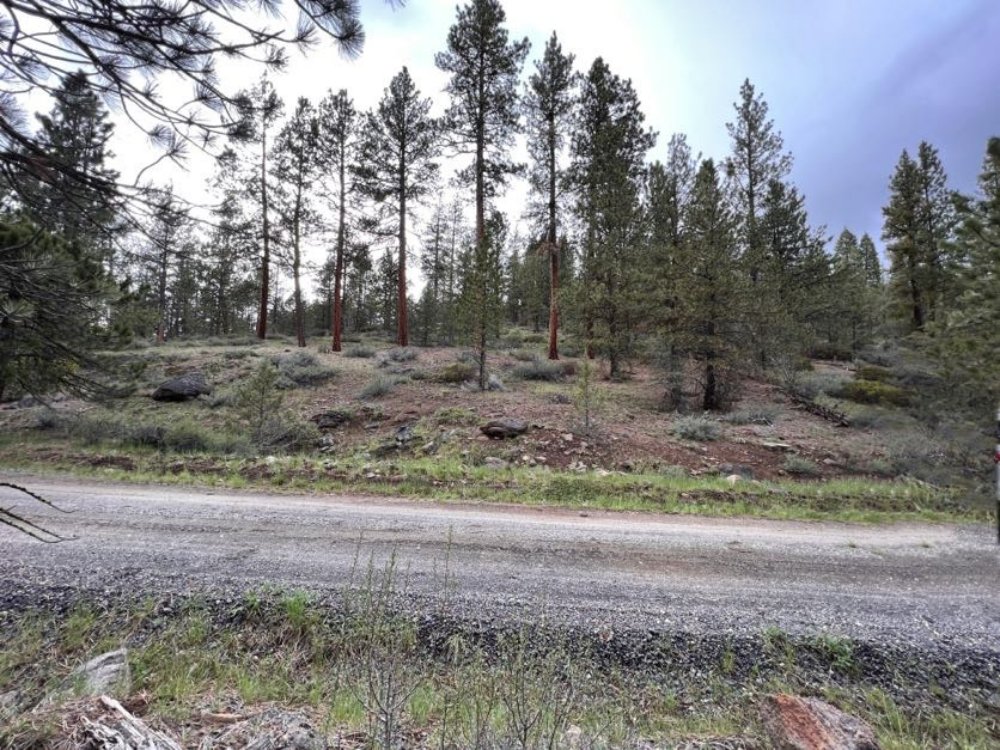
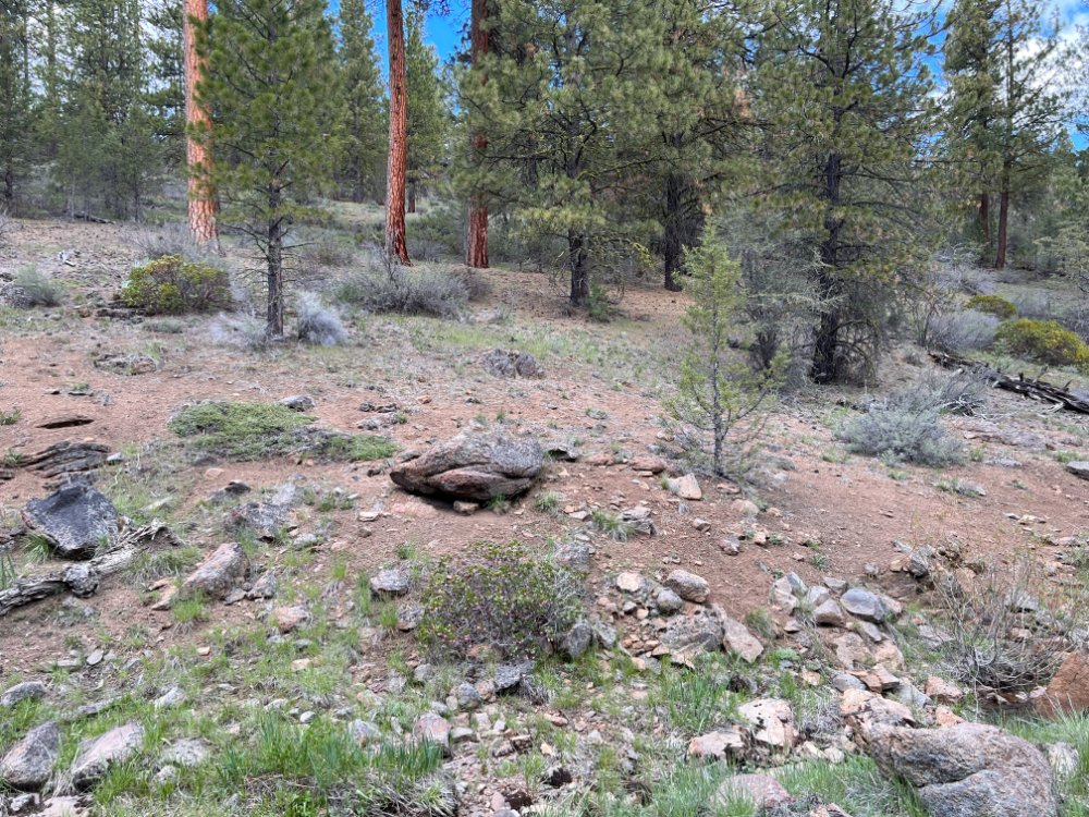
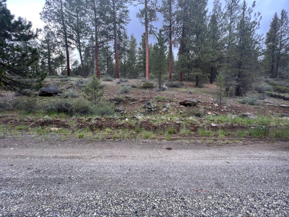
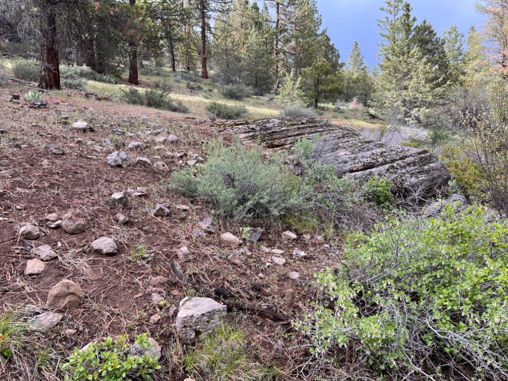
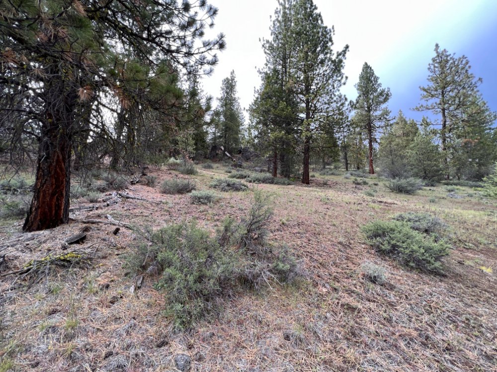
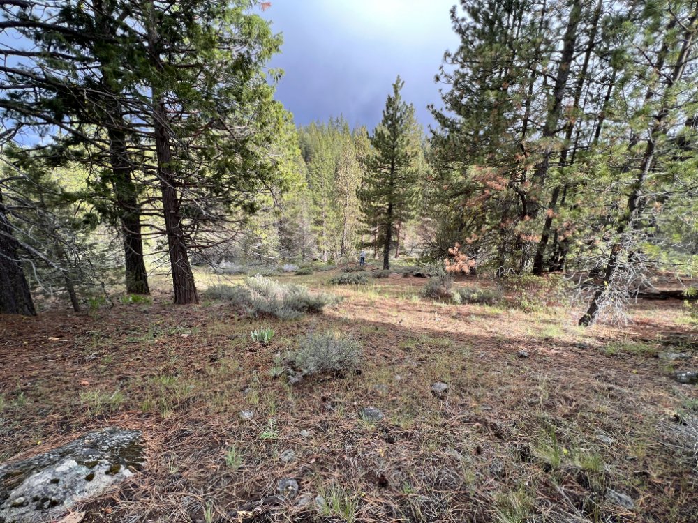
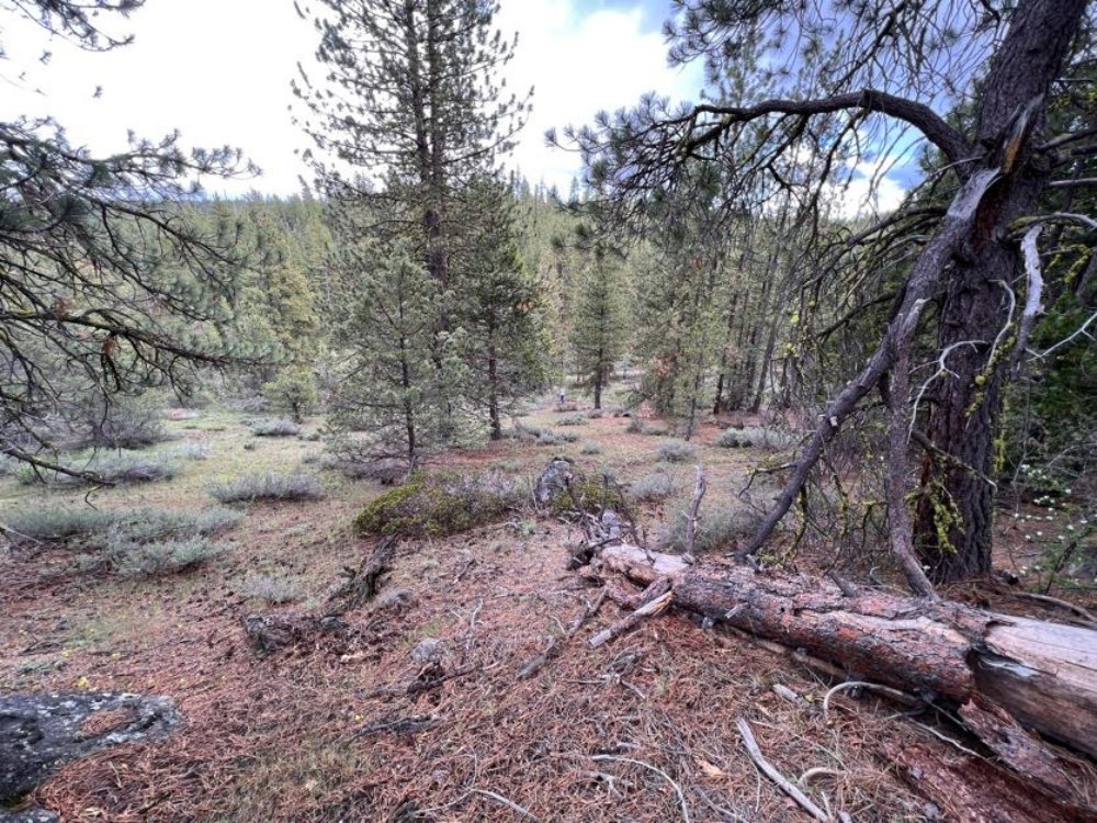
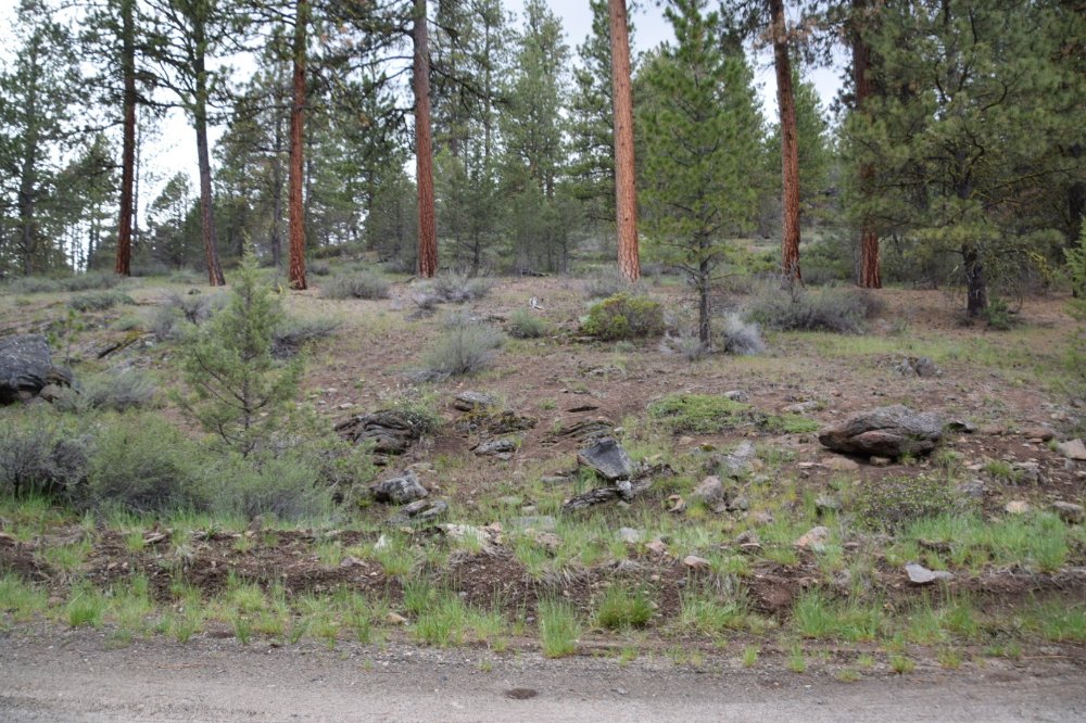
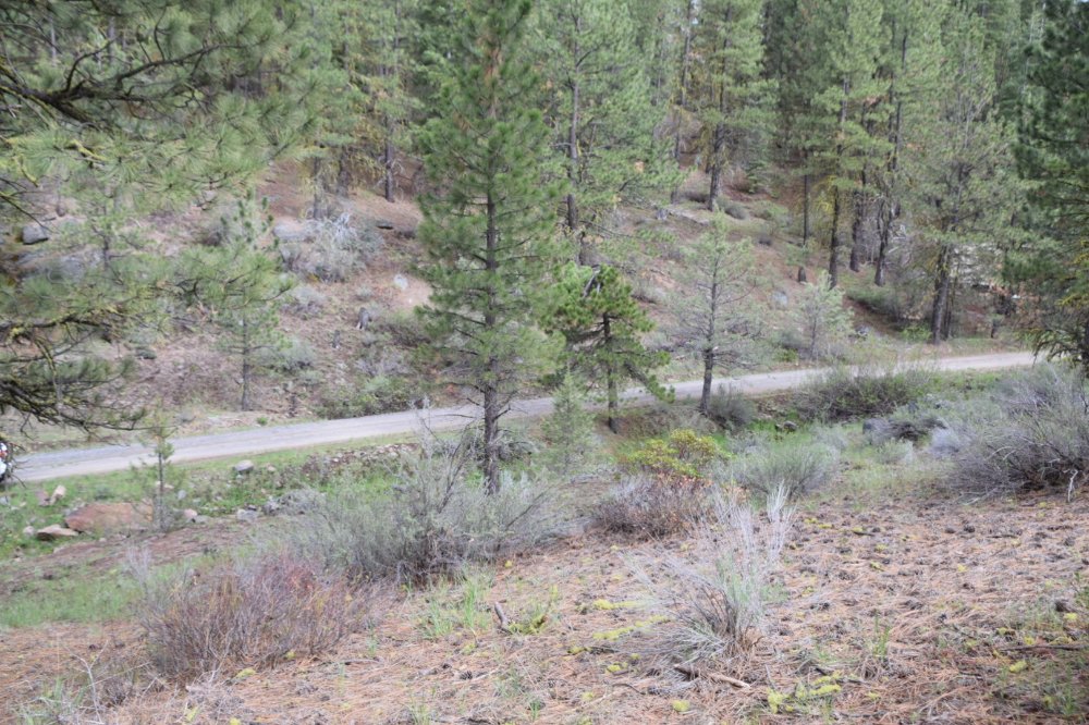
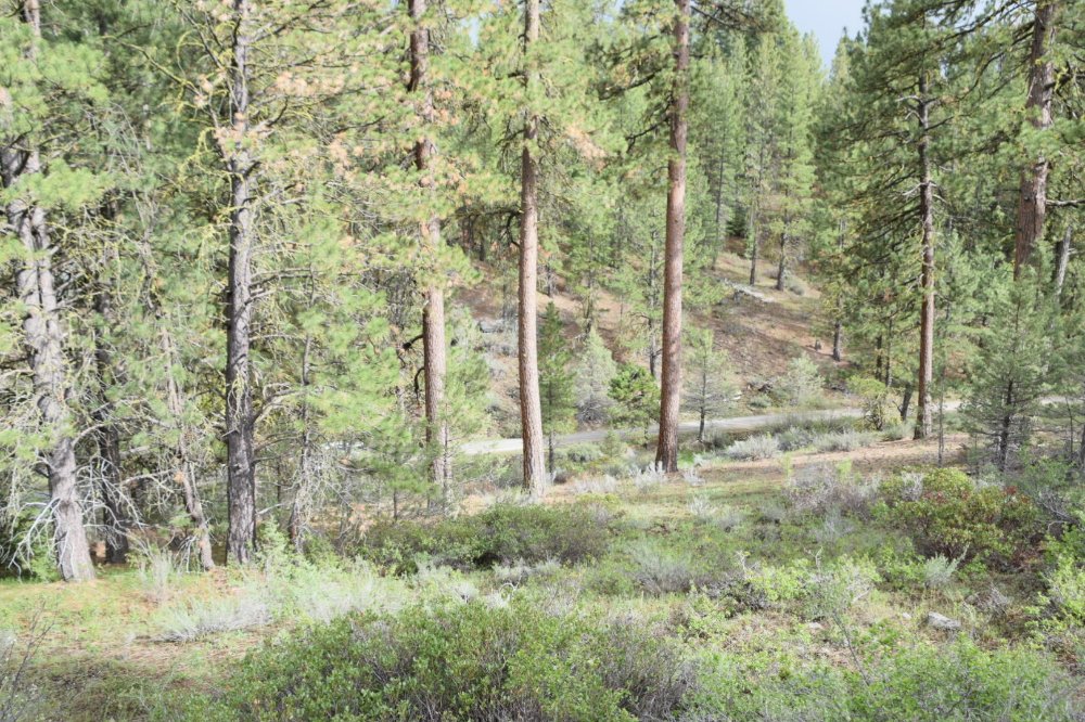
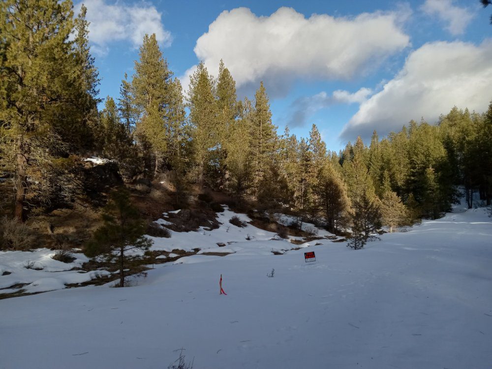
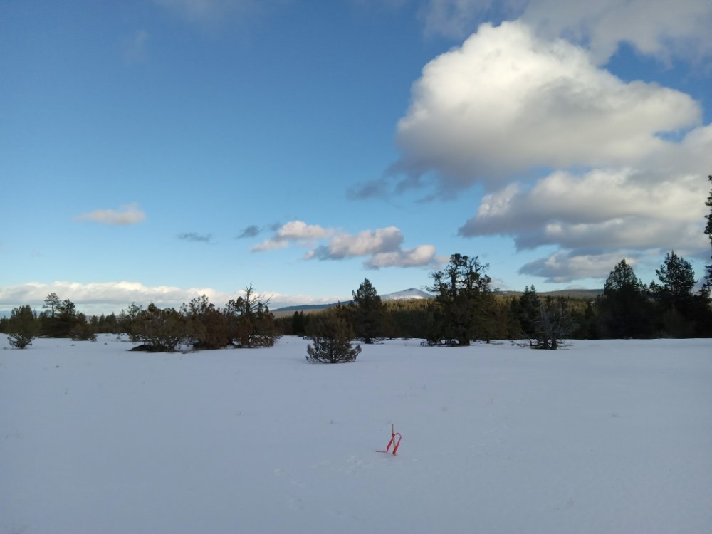
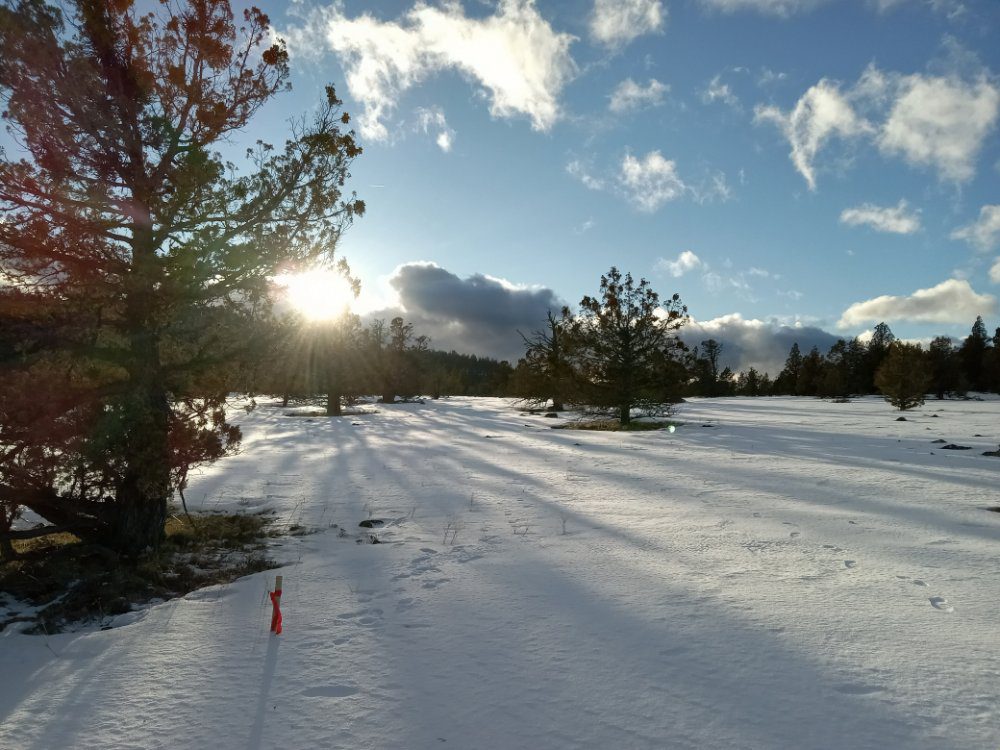
This gently sloping, off-grid lot in Klamath Falls Forest Estates is a 7.54 acres property along Whitetail Lane. There are some beautiful suitable building locations among the pine and juniper trees. The Modoc Billy Creek runs through the Southern portion of the property. The flat terrain on the northern portion of the lot offers the natural beauty of Klamath Falls Forest Estates as well as the peace and quiet of the area. This property has a lot of potential.
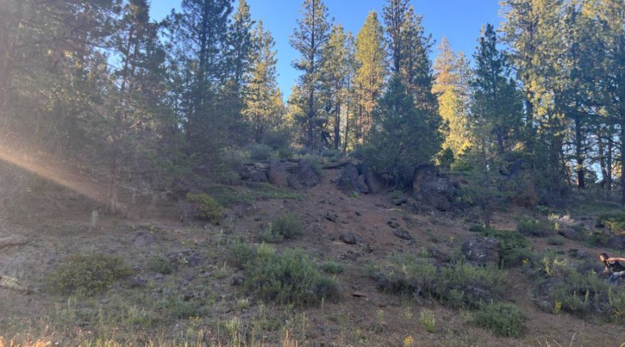
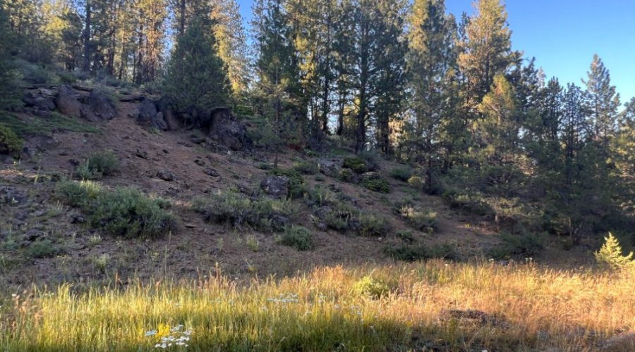
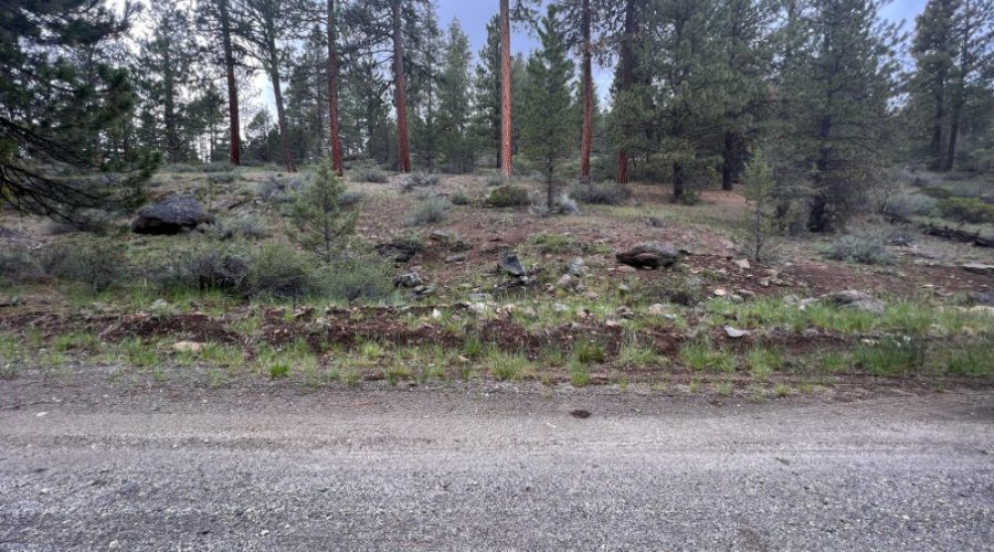
You can use a well for water and establish a septic system. The property is a large lot with mature pine trees, sagebrush, and stones on the edge of an incline leading to a flat plateau bordering a very large amount of publicly accessible acreage.
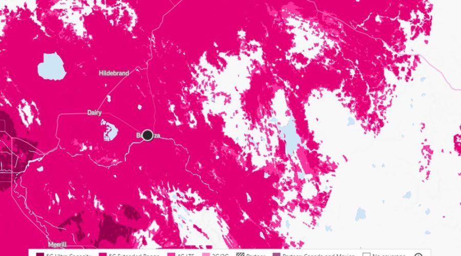
A range of outdoor activities are close to your property. Explore the neighboring Bonanza Big Springs Park, which has a Lost River running alongside it and a natural spring bubbling up within its confines, it is only 19 minutes away from the property. Picnic tables, grills, a tiny pedestrian bridge over the springs, and restrooms are available during the summer months. Take your family on a weekend journey to one of the many National Wildlife Refuge attractions south of Klamath Falls. Lower Klamath National Wildlife Refuge, Tule Lake National Wildlife Refuge, Modoc National Forest, and Clear Lake National Wildlife Refuge are within 45 minutes to 2 hours away. In the north, your property is bordered by a big parcel of state-owned land.
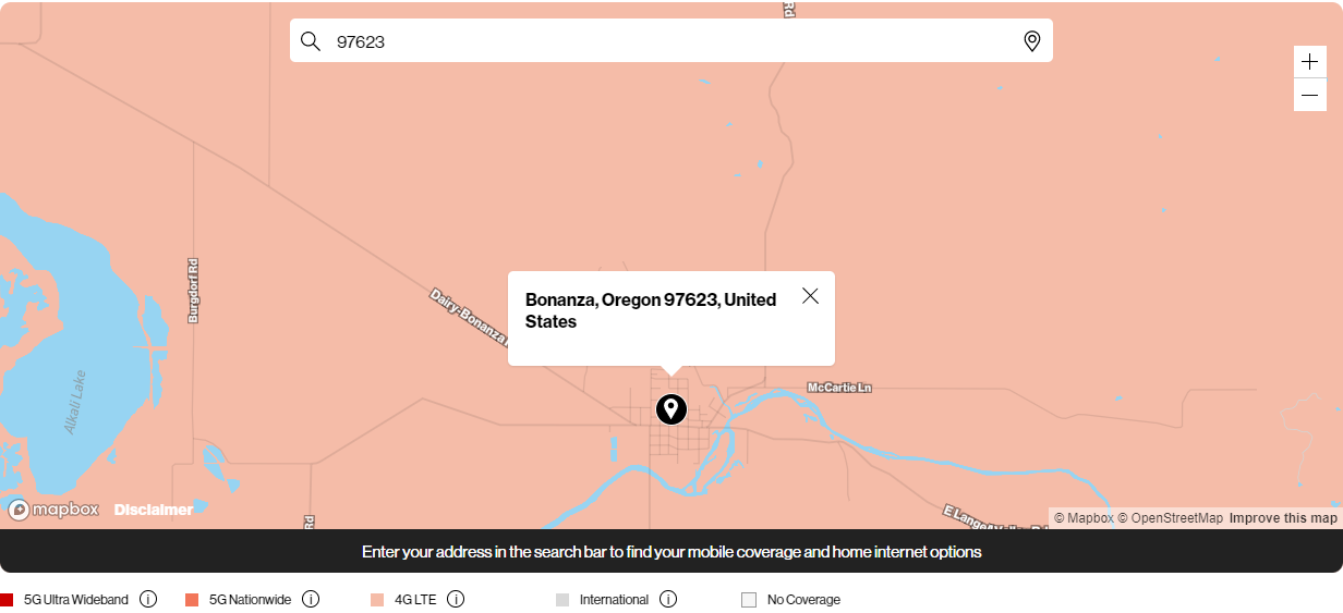
Klamath Falls, Oregon is about 42 minutes away from this wonderful acreage. Crater Lake-Klamath Regional Airport, just 41 minutes from your home, makes travel simple. Own a bit of paradise in the woods. Away from the hustle and bustle of metropolitan life. Come camp among the pines and natural plants on your own land and look up into the bright blue sky.
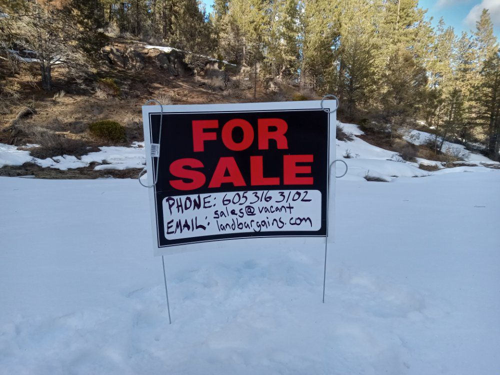
Call us now. This property is priced to sell quickly.
Nearby Places of Interest:
-Crater Lake-Klamath Regional Airport – 41 mins away
-Sky Lakes Medical Center – 42 mins away
-Rogue Valley Mall – 1 hr 59 mins away
-Malin’s Farmer’s Market – 36 mins away
-Moore Park – 44 mins
-Bonanza Big Springs Park & Recreation – 19 mins away
-Klamath Basin National Wildlife Refuge – 47 mins away
Please let us know if you would like to walk this property. Most of our properties you can visit un-accompanied. Our recommendation is to check for any special instructions below and ensure you have the Google My Map with parcel boundaries prepared on your mobile phone as well as the area downloaded for offline viewing on Google Maps mobile app. If you have any further questions please contact us for further guidance.
By visiting this property you agree that you are entering the property at your own risk. Conditions are unknown and may pose hazards. By visiting, you assume all responsibility for your safety and waive any claims of injury or damage against the property owner.
Special Instructions
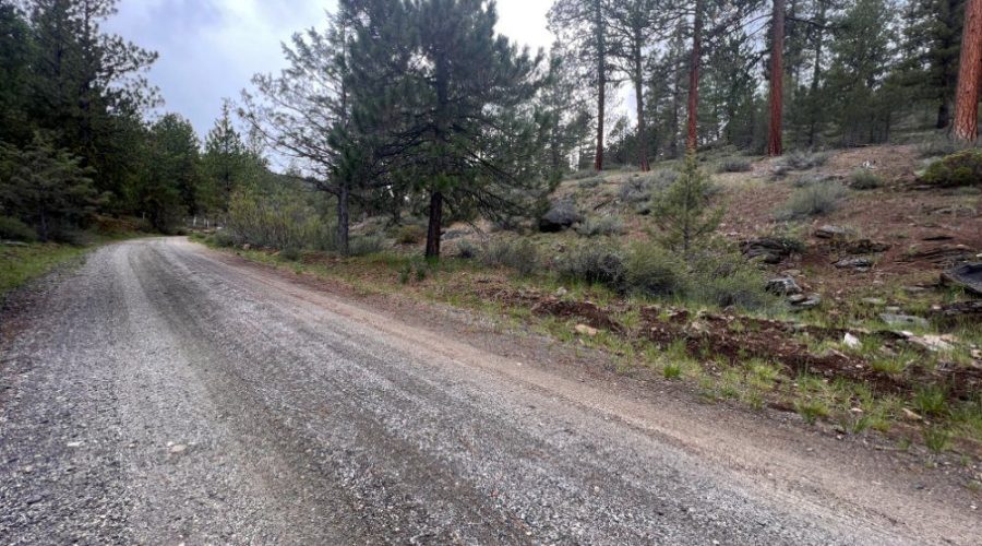
To reach the property from Klamath Falls, Oregon, start by heading northeast on S 7th St, then take a left onto Klamath Ave, and another right onto Main St. Follow Main St to OR-39 S/Crater Lake Pkwy, and continue on OR-140 E for about 30.4 miles. Turn left onto Kodiak Ln, then follow Kodiak Ln, Starling Ln, and Whitetail Ln to your destination on Whitetail Ln. The total drive is approximately 32.3 miles and takes about 44 minutes.
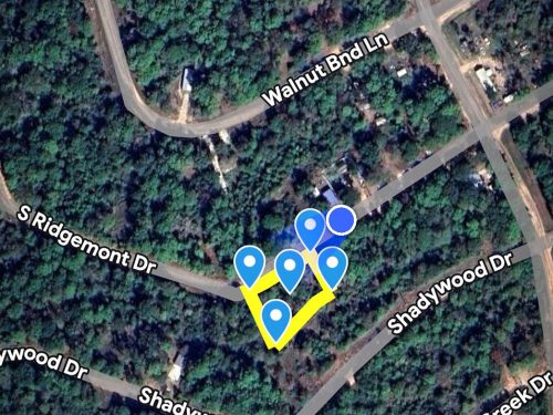
Google Maps
How to view parcel lines as you walk the property
Step 1. Ensure you are on a desktop computer and logged into the same Google account that you will use on your Google Maps mobile app.
Step 2. Open the map below in full screen in a new tab.
Step 3. In the top left click the 3 dots to the right of the map title to dropdown a menu. Select copy map, save it.
Step 4. On your mobile phone open the Google Maps app & ensure you are logged into the same Google account.
Step 5. On the bottom of the screen select “saved”. Scroll down and on the bottom right select “Maps”
Step 6. The map should appear with the parcel outline as well as corner markers.
This map will remain available to you at any time and you will be able to see the parcel lines as you walk the property. Keep in mind these are GIS lines and meant to be for reference purposes but do not represent actual property lines.
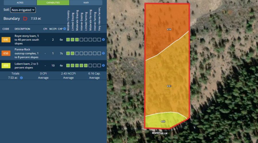
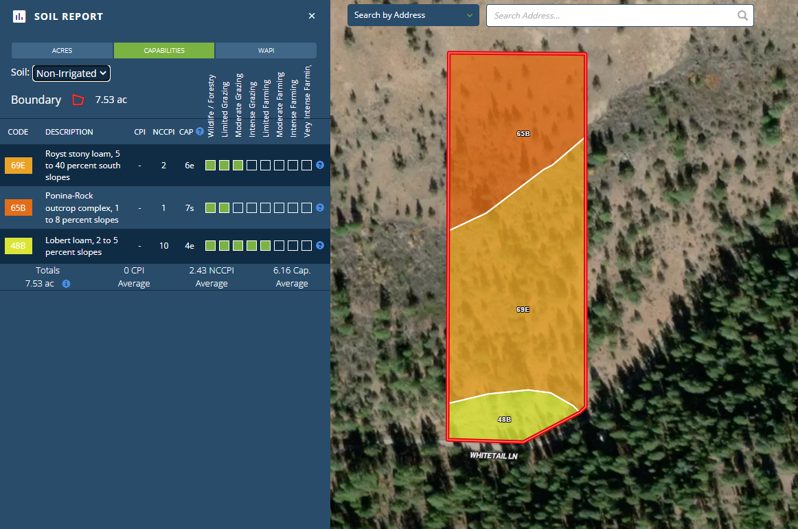
Royst stony loam, 5 to 40 percent south slopes. Lobert loam, 2 to 5 percent slopes. Good for moderate grazing and limited farming. Various species of trees scattered throughout the property


