Financing Price: $40,000, Down Payment $8,000 (20%)
5 years note @ 14% interest
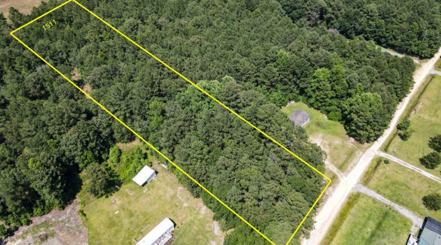
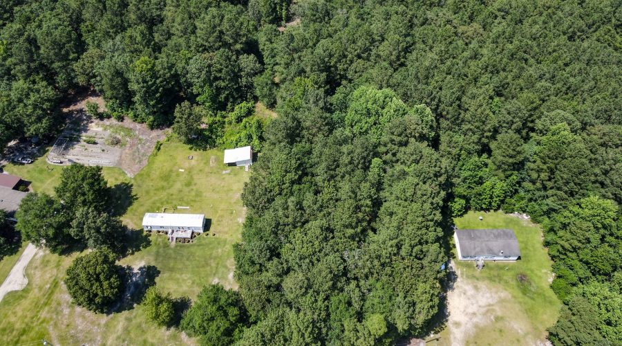
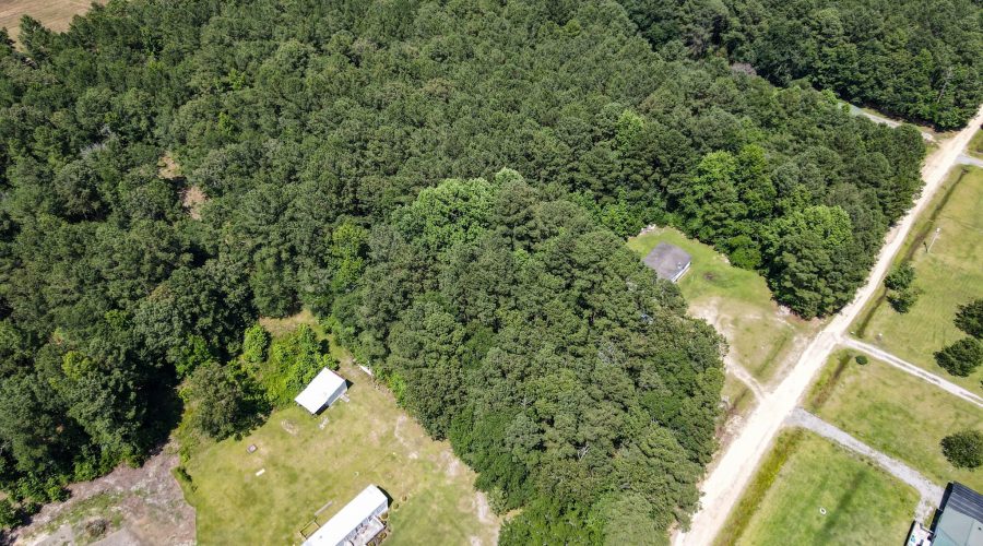
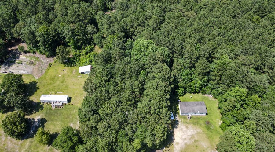
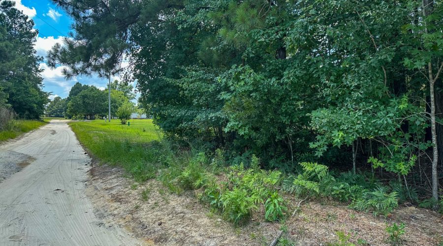
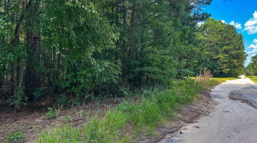
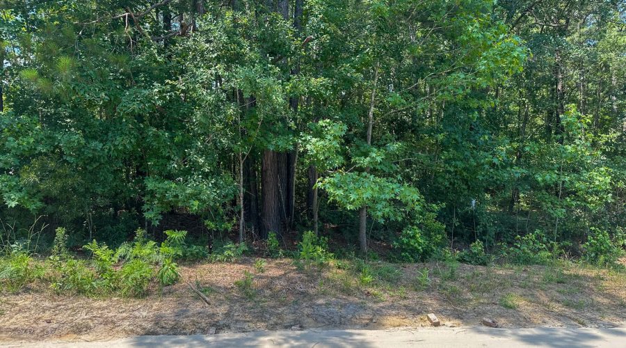
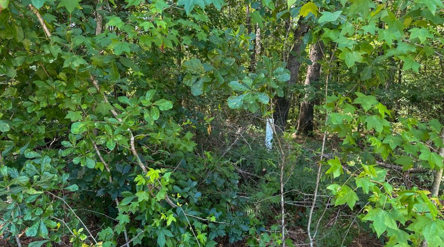
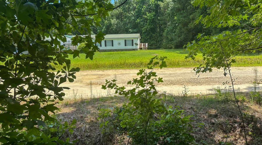
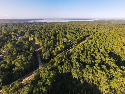
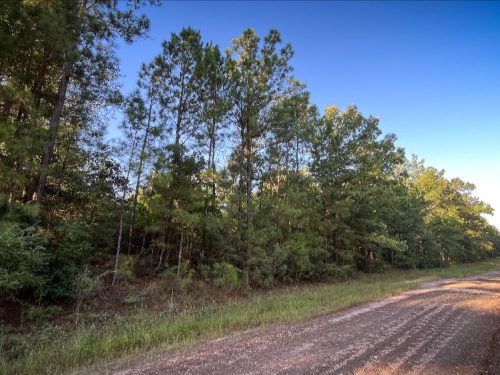
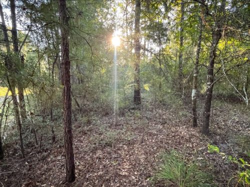
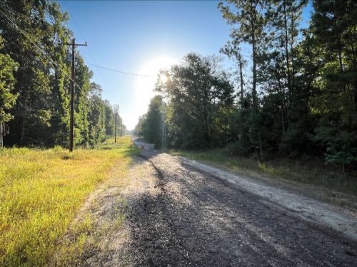
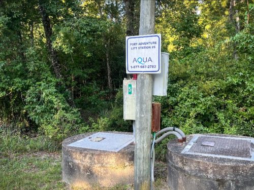
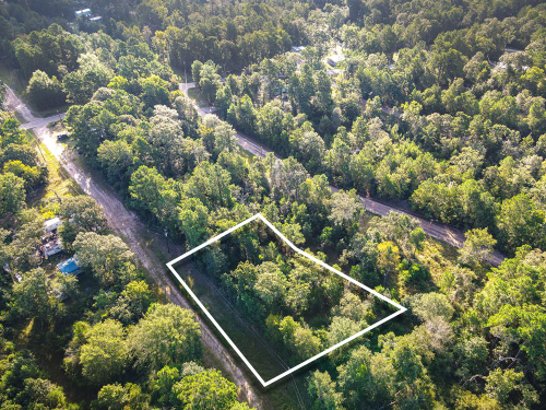
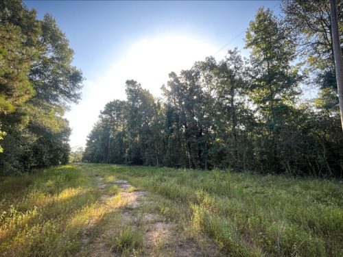
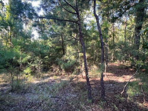
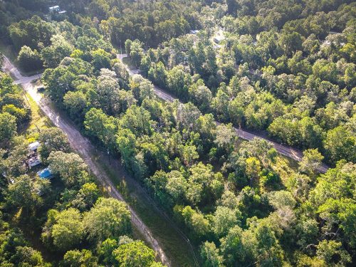
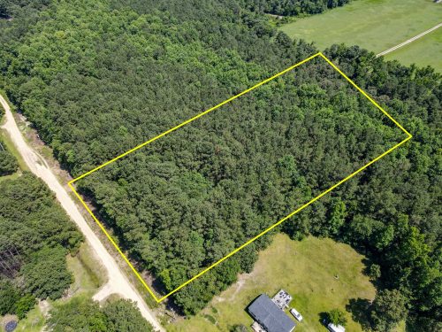
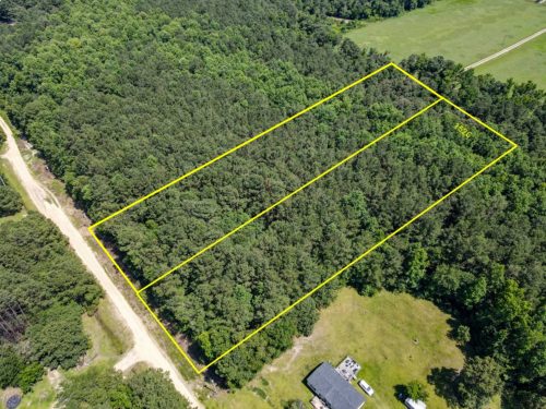
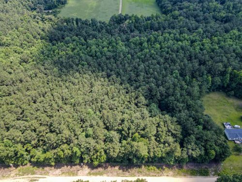
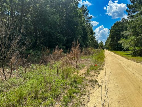
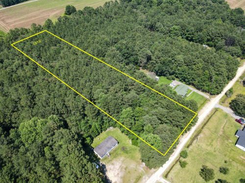
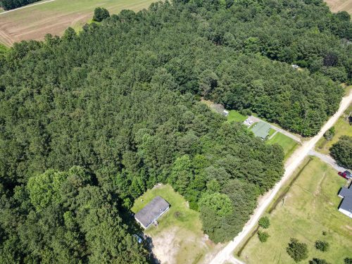
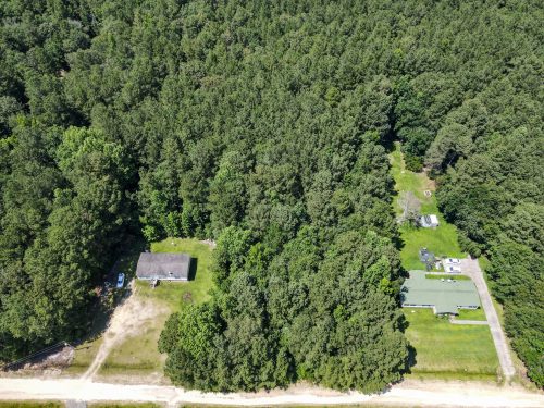
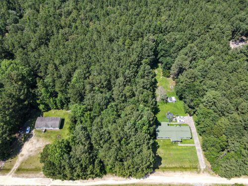
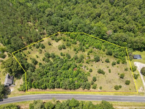
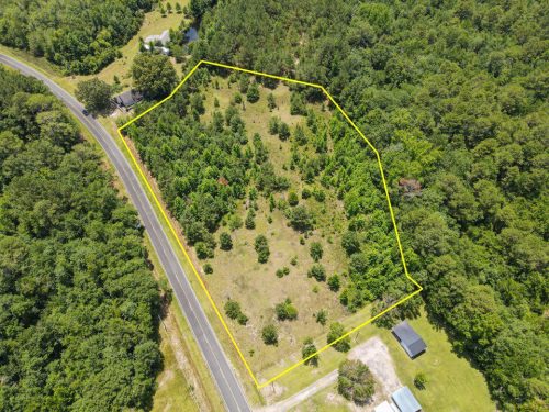
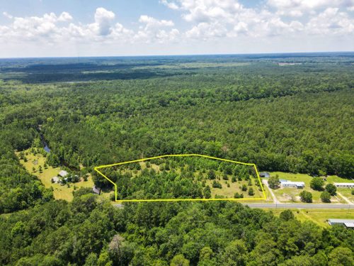
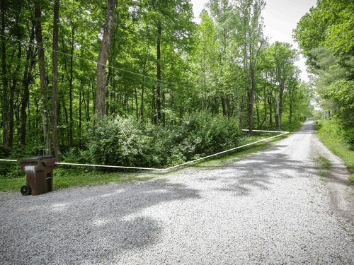
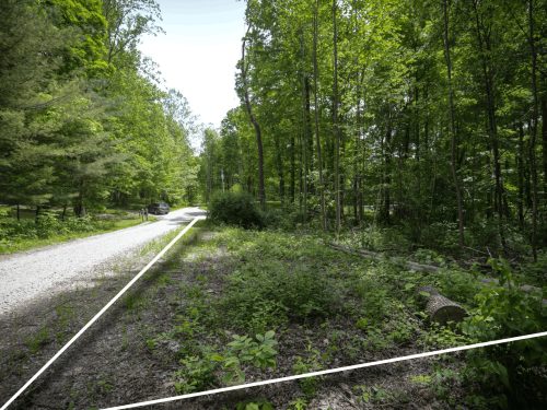
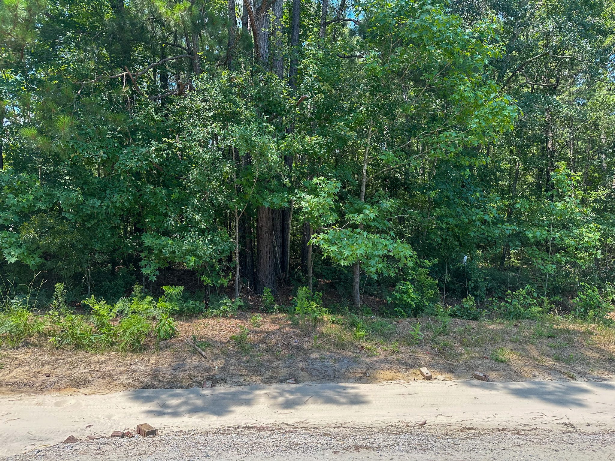
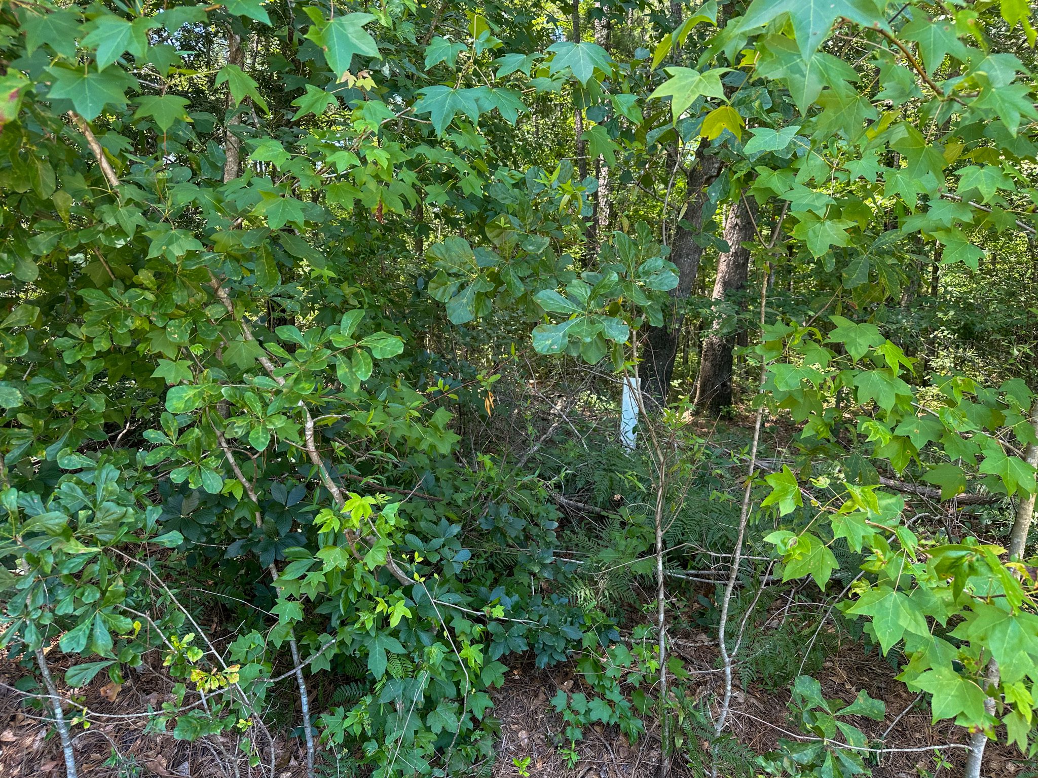
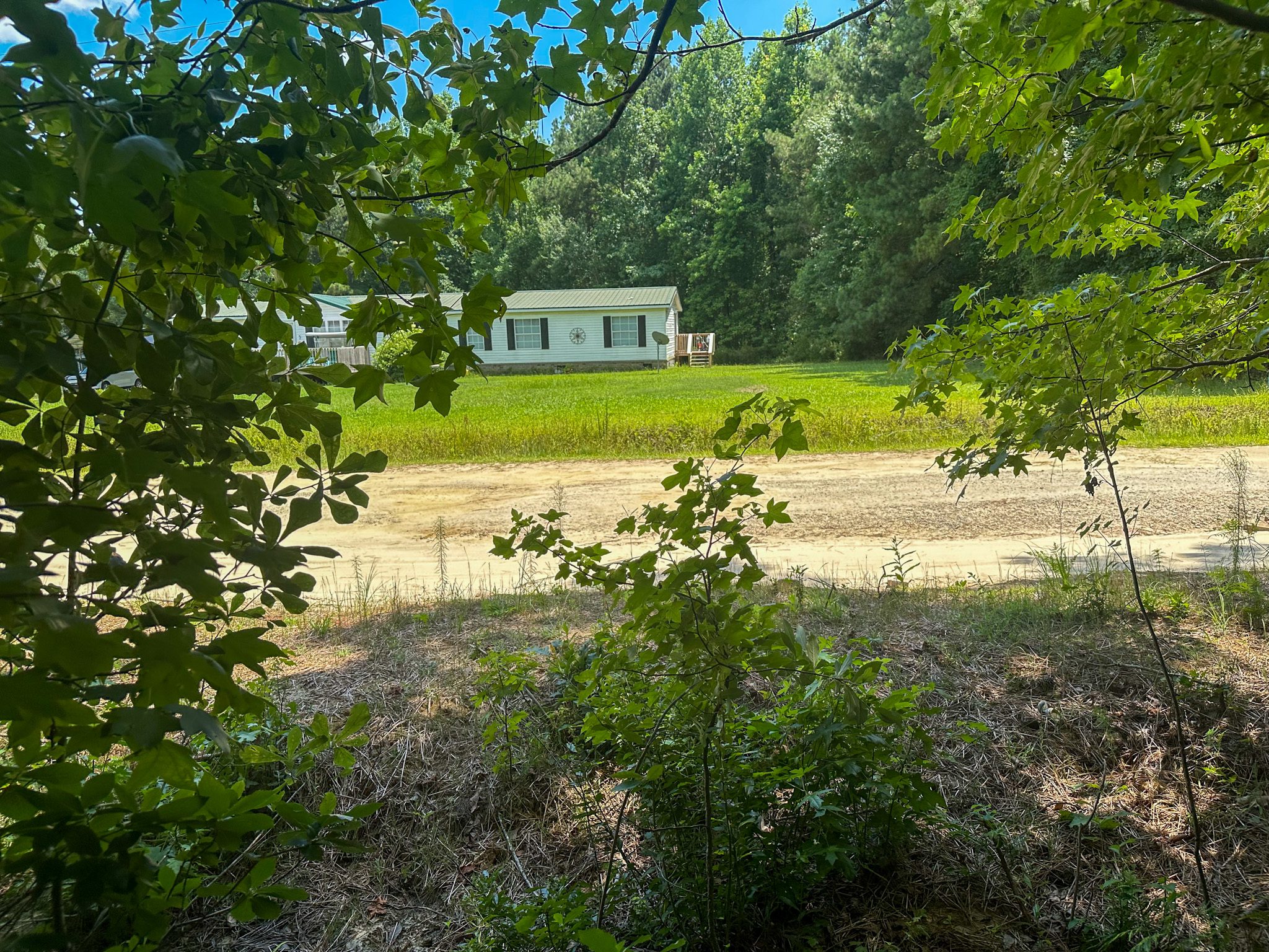
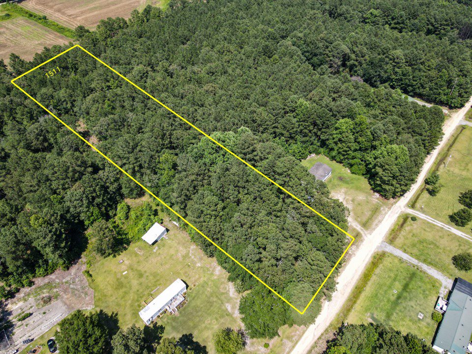
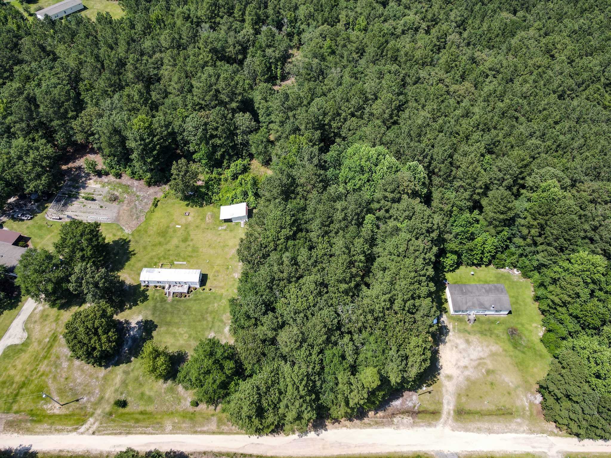
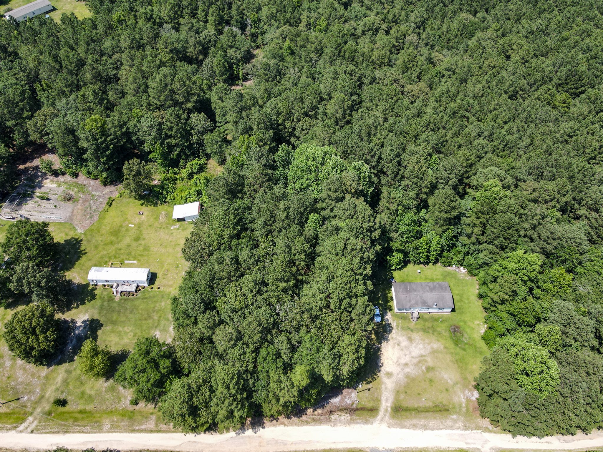
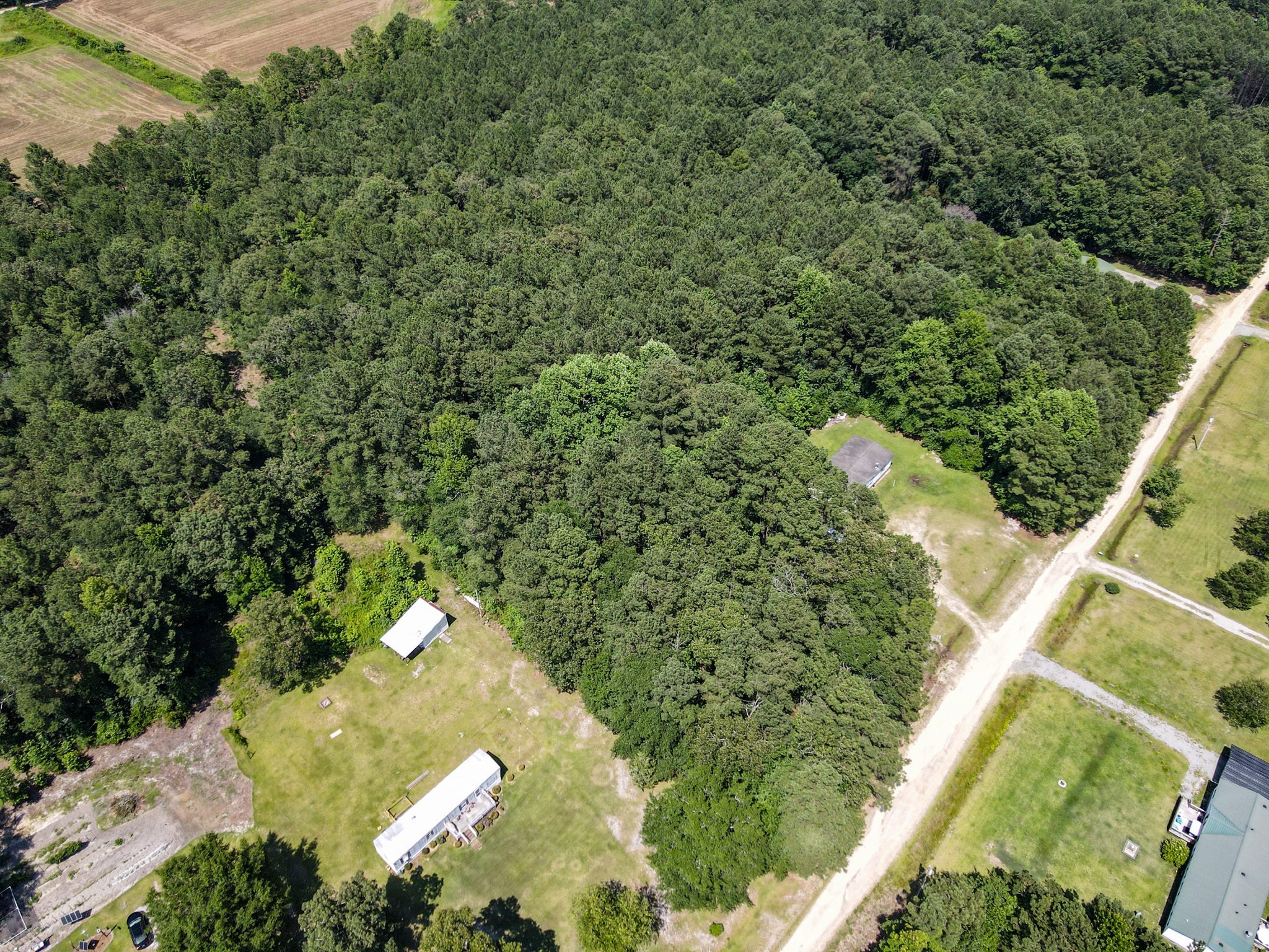
Lot 8 is a buildable lot with power and water available at the street; septic will be required. Located in a quiet residential agricultural community, it sits on a dirt road in fair condition and is suitable for a single-family home or rural use.
The property is near Luther Britt Park, Bladen Lake State Forest, Fayetteville, and Uwharrie National Forest, offering excellent access to nature and nearby towns. Covenants run with the land, but there is no HOA, no dues, and no active enforcement.
Looking for larger acreage? We have more lots available on this street, up to 12.5 contiguous acres. Contact us for more information.
Please let us know if you would like to walk this property. Most of our properties you can visit un-accompanied. Our recommendation is to check for any special instructions below and ensure you have the Google My Map with parcel boundaries prepared on your mobile phone as well as the area downloaded for offline viewing on Google Maps mobile app. If you have any further questions please contact us for further guidance.
By visiting this property you agree that you are entering the property at your own risk. Conditions are unknown and may pose hazards. By visiting, you assume all responsibility for your safety and waive any claims of injury or damage against the property owner.
Special Instructions
From Lumberton, North Carolina, head south on Elm Street, then make a few quick turns onto 1st Street, Pine Street, and then 7th Street. Continue straight as it becomes 7th Street Road for several miles. Turn left onto Singletary Church Road, then right onto Josephine Drive. After a short drive, you’ll arrive at Wisharts Township. The total trip is about 9.3 miles and takes around 16 minutes.
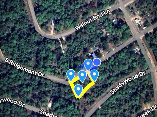
SW Corner: 34.622, -78.8629
SE Corner: 34.622, -78.8624
Google Maps
How to view parcel lines as you walk the property
Step 1. Ensure you are on a desktop computer and logged into the same Google account that you will use on your Google Maps mobile app.
Step 2. Open the map below in full screen in a new tab.
Step 3. In the top left click the 3 dots to the right of the map title to dropdown a menu. Select copy map, save it.
Step 4. On your mobile phone open the Google Maps app & ensure you are logged into the same Google account.
Step 5. On the bottom of the screen select “saved”. Scroll down and on the bottom right select “Maps”
Step 6. The map should appear with the parcel outline as well as corner markers.
This map will remain available to you at any time and you will be able to see the parcel lines as you walk the property. Keep in mind these are GIS lines and meant to be for reference purposes but do not represent actual property lines.

