$320.56 per month for 60 months, includes interest, taxes, and fees.
Loan is amortized, prepayments allowed at anytime to reduce total interest paid!
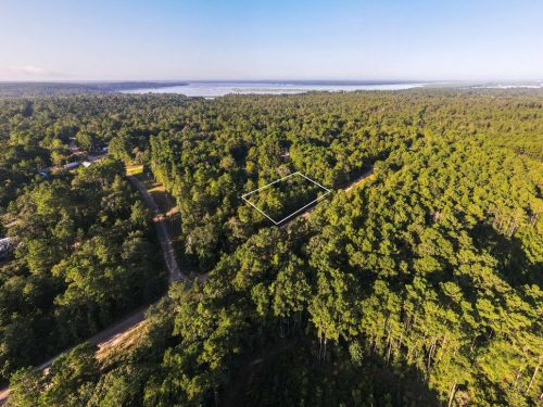
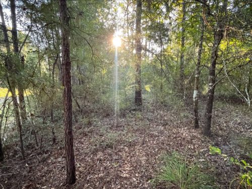
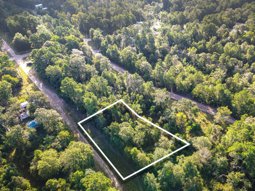
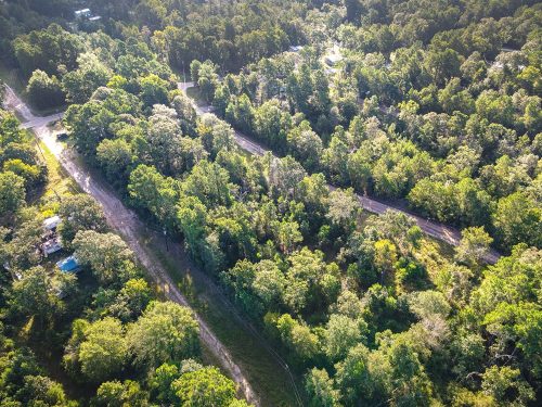
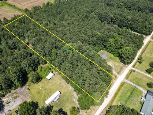
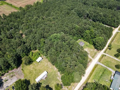
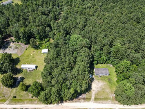
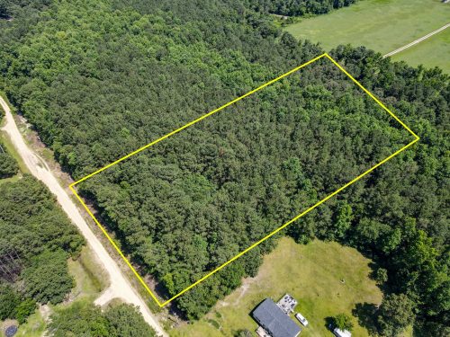
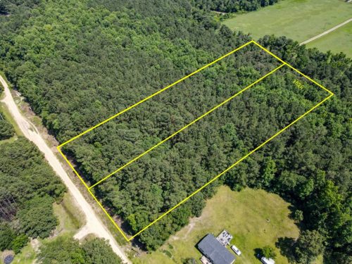
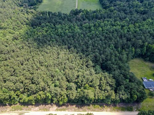
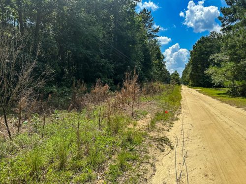
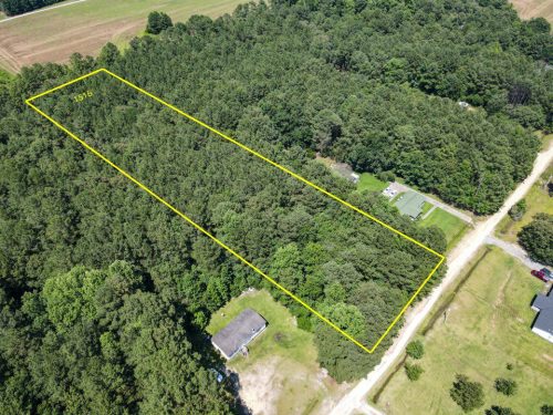
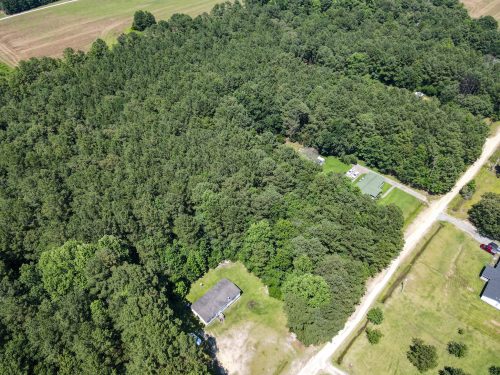
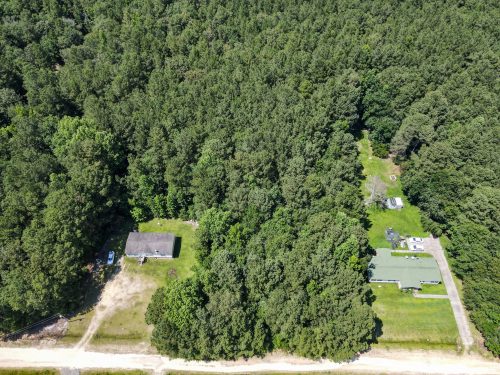
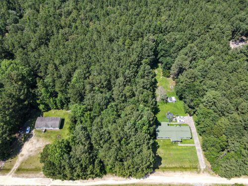
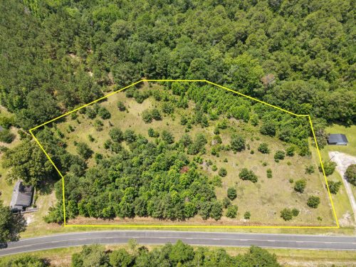
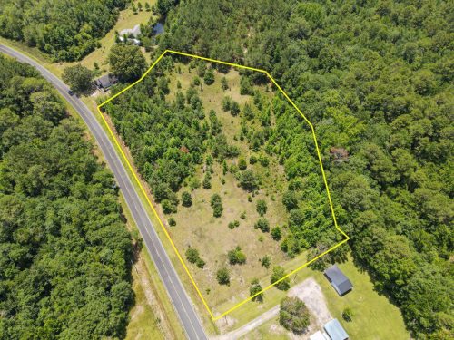
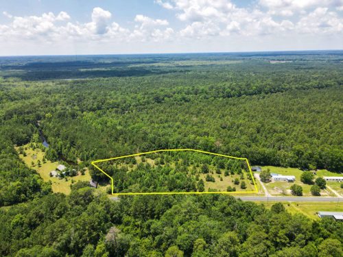
This beautiful forested lot is newly available to market and features excellent access, is elevated, providing views looking out over the Hiwassee River and very close to Murphy, a history rich town just an hour away from the Great Smokey Mountains Nation Park.
Activity wise you’re situated in Southwestern North Carolina, very close to the borders of Tennessee and Georgia and central to the Nantahala National Forest.
Give us a call for more information or to make an offer.
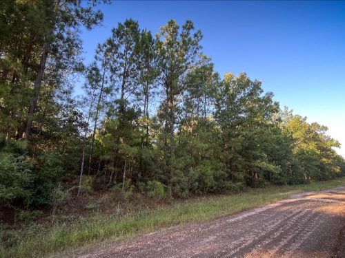
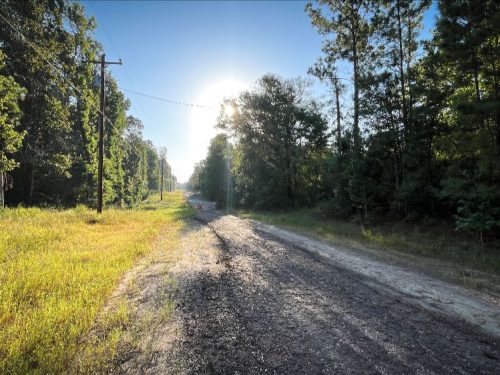
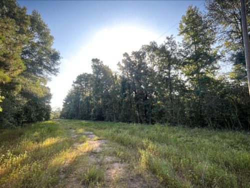
Instructions to view: 4×4 recommended, Approach from Fall Branch road from the East, ask us to send you directions. Cannot approach from the south you’ll encounter a locked gate.
Can Add these directions to our website listing in description:
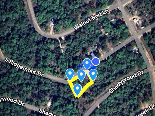
Directions: 35.0926163,-83.9958596
Nearby Places of Interest:
-Western Carolina Regional Airport – 21 mins away
-Union General Hospital – 33 mins away
-Valley Village Shopping Mall – 11 mins away
-Ingles Market – 11 mins away
-Cherokee Historical Museum – 8 mins away
-Cherokee lake Recreation Area – 22 mins away
-Fall Branch Falls – 57 mins away
Land ID
How To See This Property
Please let us know if you would like to walk this property. Most of our properties you can visit un-accompanied. Our recommendation is to check for any special instructions below and ensure you have the Google My Map with parcel boundaries prepared on your mobile phone as well as the area downloaded for offline viewing on Google Maps mobile app. If you have any further questions please contact us for further guidance.
By visiting this property you agree that you are entering the property at your own risk. Conditions are unknown and may pose hazards. By visiting, you assume all responsibility for your safety and waive any claims of injury or damage against the property owner.
Google Maps
How to view parcel lines as you walk the property
Step 1. Ensure you are on a desktop computer and logged into the same Google account that you will use on your Google Maps mobile app.
Step 2. Open the map below in full screen in a new tab.
Step 3. In the top left click the 3 dots to the right of the map title to dropdown a menu. Select copy map, save it.
Step 4. On your mobile phone open the Google Maps app & ensure you are logged into the same Google account.
Step 5. On the bottom of the screen select “saved”. Scroll down and on the bottom right select “Maps”
Step 6. The map should appear with the parcel outline as well as corner markers.
This map will remain available to you at any time and you will be able to see the parcel lines as you walk the property. Keep in mind these are GIS lines and meant to be for reference purposes but do not represent actual property lines.
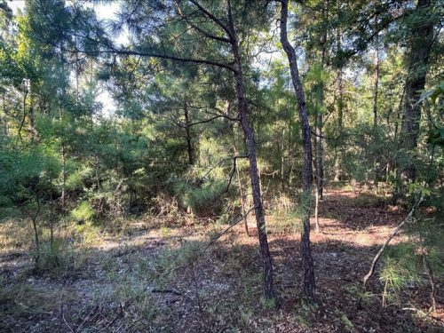
Junaluska-Tsali complex, 30 to 50 percent slopes. Junaluska-Tsali complex, 15 to 30 percent slopes. Good for limited farming. Unknown species of trees covered the whole property.
HOA
None but has Covenants
Internet & Connectivity
Cell Service: Verizon: (4G LTE) , AT&T: (4G LTE), T Mobile/Sprint: (5G Capacity) Internet Service: Viasat, EarthLink, Frontier
Property features
Power, Residential, NO HOA, Dirt Road, Cell Reception, Starlink Available, Camping, Mobile Home, Mountains, Propane Delivery