Lot 8 Josephine Dr, Lumberton, NC, 28358
State: North Carolina
County: Robeson County
2.5 Acres
Price: $25000
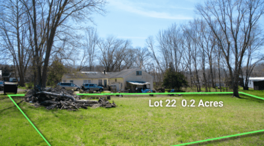
Lot 22 Turner St, Nashville, IN 47448
State: Indiana
County: Brown
Acres: 0.2
Price: $5000
***Cash Only***
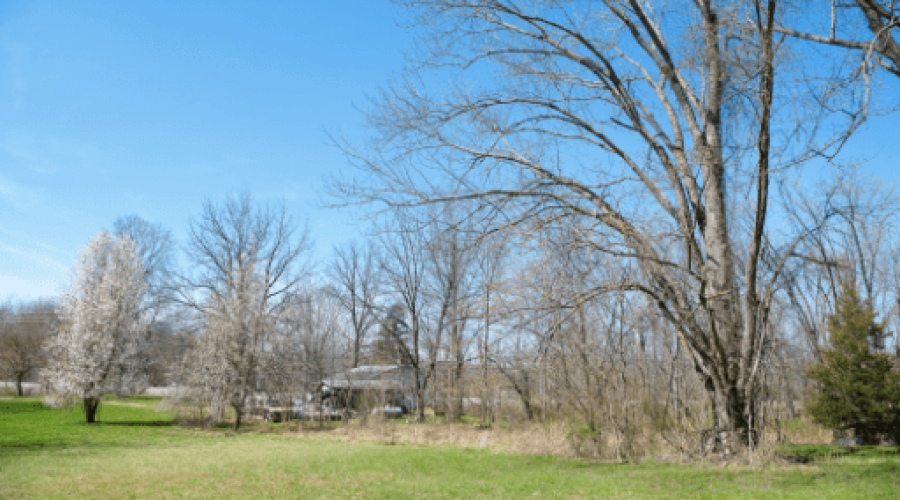
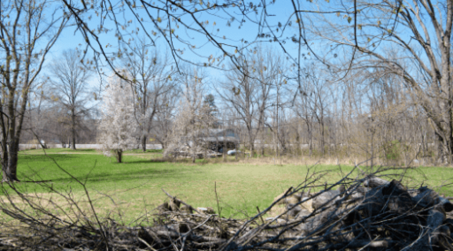
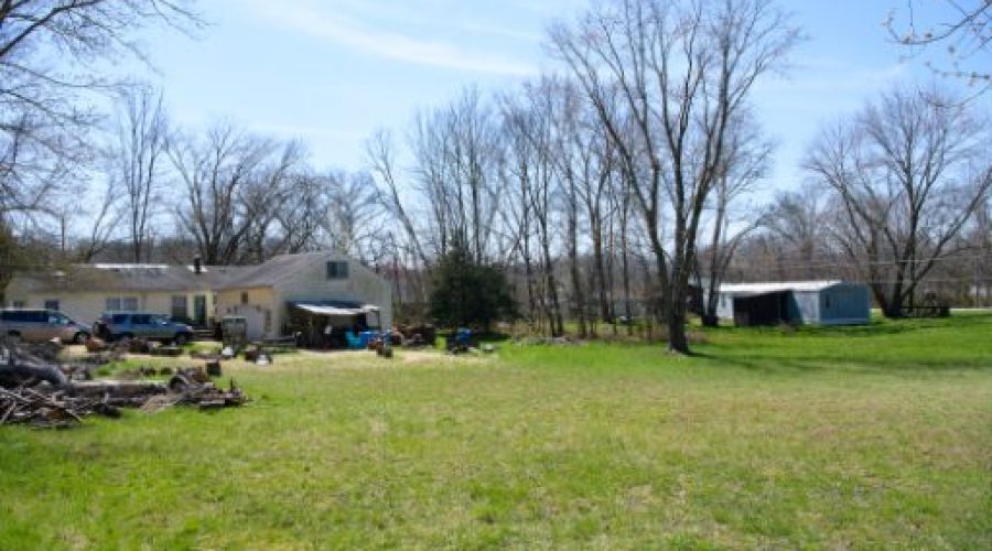
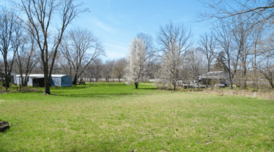
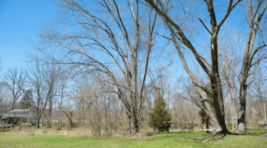
This land offers a great opportunity for anyone looking to build a home in a quiet area with convenient road access. It comes with the possibility of connecting to power and water services, and although a septic system is needed, getting a permit for it is straightforward. For those interested in working from home or just staying connected, wireless internet is also available.
The lot covers an ideal area for enjoying the peaceful surroundings or heading out for activities at nearby Riddle Point Park at Lake Lemon and Yellowwood State Forest. It’s perfect for anyone wanting to live close to nature while still having access to outdoor activities, plus, the GB Zoning (General Business) allows you both residential and commercial use.
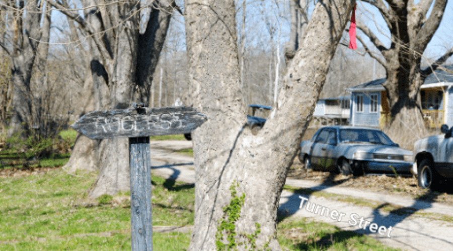
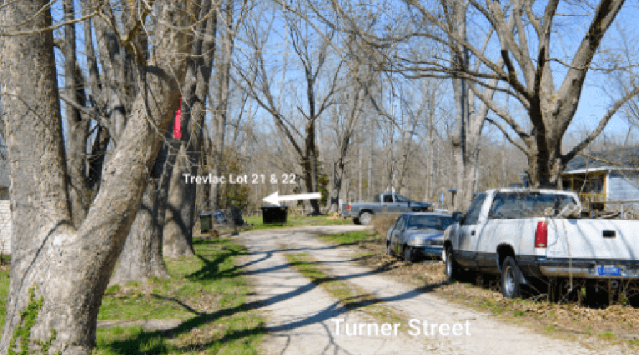
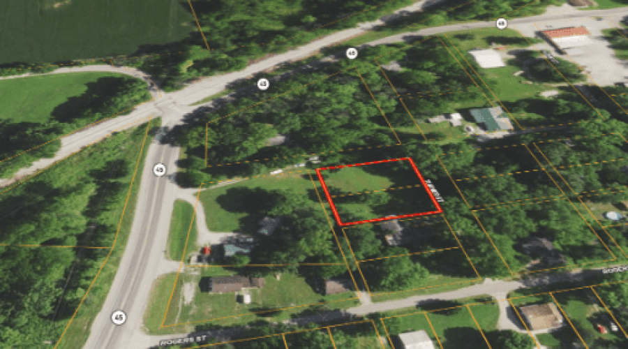
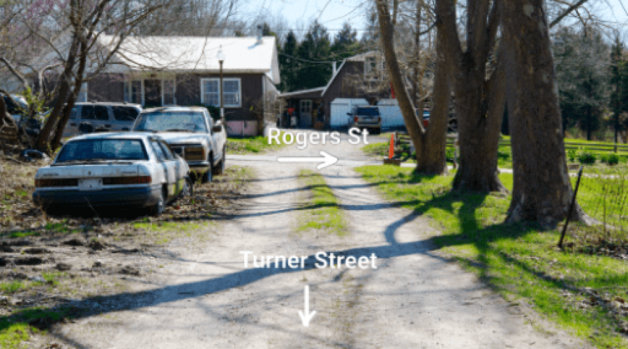
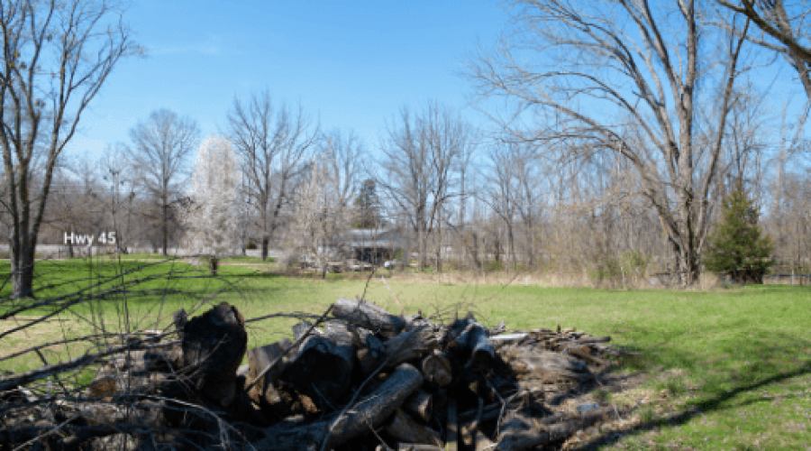
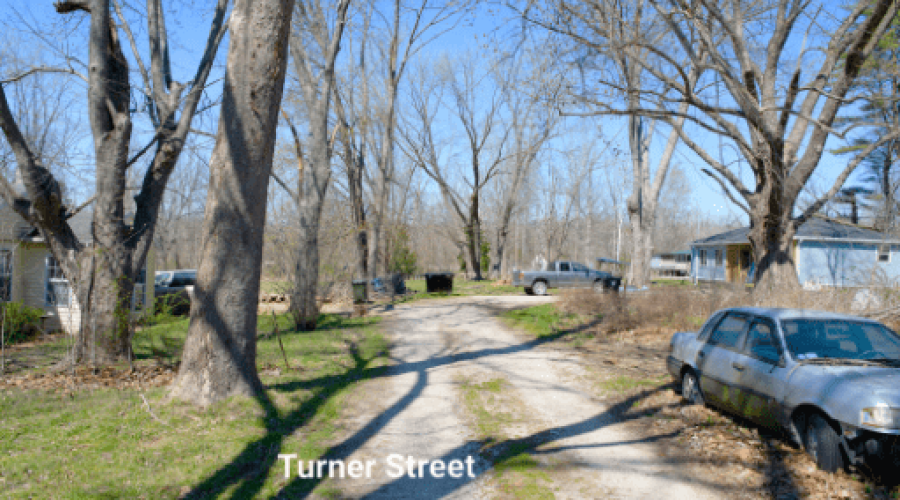
In addition to its existing features, it’s worth noting that this land is mostly cleared and accessible via a private road, Turner Rd, ensuring privacy and ease of access. Its location is ideal for recreation enthusiasts, being just a short distance from Lake Lemon, where days can be spent enjoying water activities, and nearby public lands offer ample hunting opportunities. Despite its private and tranquil setting, the property is conveniently close to Hwy 45, providing a direct route into Bloomington for a blend of countryside living with easy city access. This combination of features makes it an exceptional choice for those seeking a peaceful living environment without sacrificing the convenience of proximity to urban amenities.
Vacant Land Bargains is offering this property with a possibility for a cash discount, making it an accessible option for purchasing a piece of land with both natural beauty and modern conveniences. This is a limited opportunity to own a desirable plot of land, suitable for building a family home, a weekend retreat, or a vacation spot. Contact Vacant Land Bargains to find out how to make this land yours.
Please let us know if you would like to walk this property. Most of our properties you can visit un-accompanied. Our recommendation is to check for any special instructions below and ensure you have the Google My Map with parcel boundaries prepared on your mobile phone as well as the area downloaded for offline viewing on Google Maps mobile app. If you have any further questions please contact us for further guidance.
By visiting this property you agree that you are entering the property at your own risk. Conditions are unknown and may pose hazards. By visiting, you assume all responsibility for your safety and waive any claims of injury or damage against the property owner.
Step 1. Ensure you are on a desktop computer and logged into the same Google account that you will use on your Google Maps mobile app.
Step 2. Open the map below in full screen in a new tab.
Step 3. In the top left click the 3 dots to the right of the map title to dropdown a menu. Select copy map, save it.
Step 4. On your mobile phone open the Google Maps app & ensure you are logged into the same Google account.
Step 5. On the bottom of the screen select “saved”. Scroll down and on the bottom right select “Maps”
Step 6. The map should appear with the parcel outline as well as corner markers.
This map will remain available to you at any time and you will be able to see the parcel lines as you walk the property. Keep in mind these are GIS lines and meant to be for reference purposes but do not represent actual property lines.
Access
Public Road
Zoning
GB- General Business
Terrain
Flat Terrain
HOA
Internet & Connectivity
Verizon, AT&T, Starlink
State: North Carolina
County: Robeson County
2.5 Acres
Price: $25000
State: North Carolina
County: Robeson County
5 Acres
Price: $57000
State: North Carolina
County: Robeson County
2.5 Acres
Price: $25000
State: North Carolina
County: Robeson County
3.05 Acres
Price: $45000
State: Indiana
County: Green
1.42 Acres
Price: $22000
State: Indiana
County: Brown
9.9 Acres
Price: $125000
We will be reaching out to you shortly.
